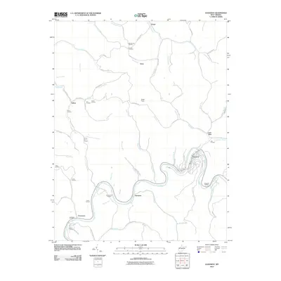
2010 Map of Gassaway
USGS Topo · Published 2010About this map
The Elk River dictates the settlement patterns and road networks through this central West Virginia landscape, winding past the town of Gassaway and the smaller community of Shadyside. Near the southern bend of the river, Frametown serves as a local hub, anchored by the Frametown Post Office. The area is notably dense with small family and community burial grounds, such as Bealls Mill Cemetery, Stumble Run Cemetery, and the Houston-Carr Cemetery, which provide invaluable reference points for genealogists and local historians tracing the region's heritage.
Find a feature on this map
90 named features on this map. Tap any name to fly to it.
Don’t see what you’re looking for? This feature index may not catch every label — zoom into the map to look around manually.
Map Details
Editions of this 2010 Gassaway Map
This is the sole edition of this map. No revisions or reprints were ever made.
Other maps of this area

1893 · Sutton
USGS Topo · 1:125,000

1906 · Glenville
USGS Topo · 1:62,500

1906 · Burnsville
USGS Topo · 1:62,500

1908 · Gassaway
USGS Topo · 1:48,000

1908 · Sutton
USGS Topo · 1:48,000

1910 · Sutton Special
USGS Topo · 1:62,500

1910 · Gassaway
USGS Topo · 1:62,500

1925 · Glenville
USGS Topo · 1:62,500

1925 · Burnsville
USGS Topo · 1:62,500

1927 · Burnsville
USGS Topo · 1:62,500