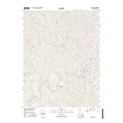
2016 Map of Gassaway
USGS Topo · Published 2016About this map
The Elk River carves a deep, winding path through central West Virginia, dictating the development and transportation patterns of Gassaway and its surrounding hollows. In this 2016 survey, the town of Gassaway sits at a sharp oxbow of the river, connected by the Gassaway Veterans Memorial Bridge and an intricate network of local routes like Braxton St and Elk River Rd. The surrounding terrain is defined by narrow ridges and steep drainages, where many family-named cemeteries and small settlements are tucked away from the main river valley.
Find a feature on this map
107 named features on this map. Tap any name to fly to it.
Don’t see what you’re looking for? This feature index may not catch every label — zoom into the map to look around manually.
Map Details
Editions of this 2016 Gassaway Map
This is the sole edition of this map. No revisions or reprints were ever made.
Other maps of this area

1893 · Sutton
USGS Topo · 1:125,000

1906 · Glenville
USGS Topo · 1:62,500

1906 · Burnsville
USGS Topo · 1:62,500

1908 · Gassaway
USGS Topo · 1:48,000

1908 · Sutton
USGS Topo · 1:48,000

1910 · Sutton Special
USGS Topo · 1:62,500

1910 · Gassaway
USGS Topo · 1:62,500

1925 · Glenville
USGS Topo · 1:62,500

1925 · Burnsville
USGS Topo · 1:62,500

1927 · Burnsville
USGS Topo · 1:62,500