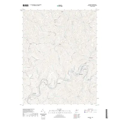
2019 Map of Gassaway
USGS Topo · Published 2019About this map
Gassaway sits at a prominent bend in the Elk River, serving as a central hub for this portion of Braxton County. The landscape is defined by the tight, winding valleys of tributaries like Little Otter Creek and Wolfpen Run, where small settlements such as Belfont and Little Otter took root. The influence of the river is primary, highlighted by the Gassaway Veterans Memorial Bridge and the Elk River Water Trail, while the Old Elk Railroad Bed Rd points to the transportation corridors that historically linked these river towns. Numerous family-named cemeteries, including the Stumble Run Cem, Houston Carr Cem, and Keener Cem, are scattered across the ridges and hollows, providing essential touchstones for genealogical research in this Appalachian terrain.
Find a feature on this map
101 named features on this map. Tap any name to fly to it.
Don’t see what you’re looking for? This feature index may not catch every label — zoom into the map to look around manually.
Map Details
Editions of this 2019 Gassaway Map
This is the sole edition of this map. No revisions or reprints were ever made.
Other maps of this area

1893 · Sutton
USGS Topo · 1:125,000

1906 · Glenville
USGS Topo · 1:62,500

1906 · Burnsville
USGS Topo · 1:62,500

1908 · Gassaway
USGS Topo · 1:48,000

1908 · Sutton
USGS Topo · 1:48,000

1910 · Sutton Special
USGS Topo · 1:62,500

1910 · Gassaway
USGS Topo · 1:62,500

1925 · Glenville
USGS Topo · 1:62,500

1925 · Burnsville
USGS Topo · 1:62,500

1927 · Burnsville
USGS Topo · 1:62,500