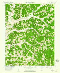
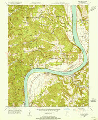
1958 Map of Gatchel
USGS Topo · Published 1977About this map
St Joe Ridge and Leopold Ridge dominate this corner of the Hoosier National Forest in Perry County, where mid-century life was anchored by remote churches and local ridge schools. The settlement of Gatchel serves as a small hub near the center of the sheet, while scattered homesteads and family cemeteries like Hammack Cem and Niles Cem are found along the winding valleys of Theis Creek and Kraus Creek. This survey shows a landscape where community life was organized around landmarks like St Josephs Ch and Lilly Dale Ch.
Find a feature on this map
48 named features on this map. Tap any name to fly to it.
Don’t see what you’re looking for? This feature index may not catch every label — zoom into the map to look around manually.
Map Details
Editions of this 1958 Gatchel Map
4 editions found
Other maps of this area

1900 · St Meinrad
USGS Topo · 1:62,500

1903 · St. Meinrad
USGS Topo · 1:62,500

1903 · Tell City
USGS Topo · 1:62,500

1934 · Cannelton
USGS Topo · 1:62,500

1949 · Cannelton
USGS Topo · 1:24,000

1953 · Cannelton
USGS Topo · 1:24,000

1953 · Tell City
USGS Topo · 1:24,000
1953 · Rome
USGS Topo · 1:24,000

1954 · Evansville
USGS Topo · 1:250,000

1954 · Derby
USGS Topo · 1:24,000