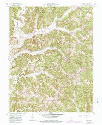
1958 Map of Gatchel
USGS Topo · Published 1989About this map
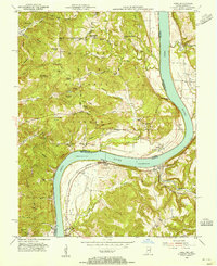
The ridge-and-hollow topography of eastern Perry County defines this mid-century survey, where rural life is anchored by family-named schools and churches. Concentrated around St Joe Ridge, the community network includes St Joseph Ch and the Theis Sch, while the southern reaches feature the Perry County Municipal Airport. The landscape is heavily influenced by the presence of the Leopold National Forest and portions of the Ferdinand State Forest, which preserve the wooded character of the drainage basins for the Middle Fork Anderson River and Deer Creek. The map documents a classic Indiana hill-country settlement pattern, with small population centers like Gatchel and Terry situated on higher ground above the winding creek beds and namesake hollows such as Harpeneau Hollow and Bolin Hollow.
Find a feature on this map
44 named features on this map. Tap any name to fly to it.
Don’t see what you’re looking for? This feature index may not catch every label — zoom into the map to look around manually.
Map Details
Editions of this 1958 Gatchel Map
4 editions found
Other maps of this area

1900 · St Meinrad
USGS Topo · 1:62,500

1903 · St. Meinrad
USGS Topo · 1:62,500

1903 · Tell City
USGS Topo · 1:62,500

1934 · Cannelton
USGS Topo · 1:62,500

1949 · Cannelton
USGS Topo · 1:24,000

1953 · Cannelton
USGS Topo · 1:24,000

1953 · Tell City
USGS Topo · 1:24,000
1953 · Rome
USGS Topo · 1:24,000

1954 · Evansville
USGS Topo · 1:250,000

1954 · Derby
USGS Topo · 1:24,000