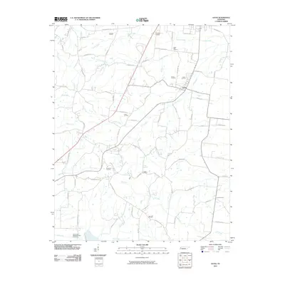
2010 Map of Gates
USGS Topo · Published 2010About this map
Gates sits as the primary settlement within this West Tennessee landscape, where a dense network of country roads connects a series of family-named cemeteries and agricultural lands. The terrain is defined by its drainages, including the northward-flowing Halls Creek and the meandering Sunrow Creek, which divide the countryside into distinct parcels. The area shows a high density of burial grounds, such as Dunavant, Thurmand, and Beech Bluff, suggesting deep-rooted family ties to the land.
Find a feature on this map
72 named features on this map. Tap any name to fly to it.
Don’t see what you’re looking for? This feature index may not catch every label — zoom into the map to look around manually.
Map Details
Editions of this 2010 Gates Map
This is the sole edition of this map. No revisions or reprints were ever made.
Other maps of this area

1939 · Hales Point
USGS Topo · 1:62,500

1939 · Halls
USGS Topo · 1:62,500

1952 · Hales Point
USGS Topo · 1:62,500

1952 · Gates
USGS Topo · 1:24,000

1952 · Bonicord
USGS Topo · 1:24,000

1952 · Chestnut Bluff
USGS Topo · 1:24,000

1952 · Fowlkes
USGS Topo · 1:24,000

1956 · Blytheville
USGS Topo · 1:250,000

1959 · Blytheville
USGS Topo · 1:250,000

1961 · Hales Point
USGS Topo · 1:62,500