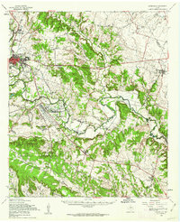
1958 Map of Gatesville
USGS Topo · Published 1962About this map
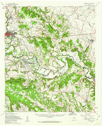
Gatesville serves as the focal point of this Central Texas landscape, positioned at the edge of the sprawling Fort Hood Military Reservation. The map captures a period when the military's influence on local geography was significant, with North Fort Hood and its associated Landing Strip dominating the central plain near Fort Gates. To the north, the Gatesville State School for Boys stands as a prominent institutional landmark near the winding path of Stillhouse Branch.
Find a feature on this map
56 named features on this map. Tap any name to fly to it.
Don’t see what you’re looking for? This feature index may not catch every label — zoom into the map to look around manually.
Map Details
Editions of this 1958 Gatesville Map
2 editions found
Other maps of this area

1888 · Meridian
USGS Topo · 1:125,000

1892 · Temple
USGS Topo · 1:125,000

1892 · Waco
USGS Topo · 1:125,000

1894 · Meridian
USGS Topo · 1:125,000

1894 · Gatesville
USGS Topo · 1:125,000

1920 · Waco
USGS Topo · 1:125,000

1924 · Gatesville 4-a
USGS Topo · 1:48,000

1924 · Temple 2-C
USGS Topo · 1:48,000

1924 · Temple 3-B
USGS Topo · 1:48,000

1930 · Killeen
USGS Topo · 1:62,500