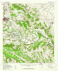
1958 Map of Gatesville
USGS Topo · Published 1985About this map
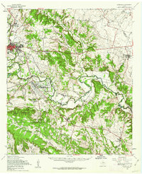
The Leon River carves a winding path through Central Texas, dictating the settlement patterns and transport corridors of the late 1950s. The sprawling Fort Hood Military Reservation dominates the southern landscape, featuring the infrastructure of North Fort Hood and its associated Landing Strip. In the northwest, the town of Gatesville serves as a regional hub, noted by its Armory and the expansive Gatesville State School for Boys.
Find a feature on this map
66 named features on this map. Tap any name to fly to it.
Don’t see what you’re looking for? This feature index may not catch every label — zoom into the map to look around manually.
Map Details
Editions of this 1958 Gatesville Map
2 editions found
Other maps of this area

1888 · Meridian
USGS Topo · 1:125,000

1892 · Temple
USGS Topo · 1:125,000

1892 · Waco
USGS Topo · 1:125,000

1894 · Meridian
USGS Topo · 1:125,000

1894 · Gatesville
USGS Topo · 1:125,000

1920 · Waco
USGS Topo · 1:125,000

1924 · Gatesville 4-a
USGS Topo · 1:48,000

1924 · Temple 2-C
USGS Topo · 1:48,000

1924 · Temple 3-B
USGS Topo · 1:48,000

1930 · Killeen
USGS Topo · 1:62,500