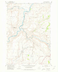
1962 Map of Gateway
USGS Topo · Published 1980About this map
The confluence of the Warm Springs River and the Deschutes River anchors this central Oregon landscape, where the rugged topography is defined by deep incisions like Old Maids Canyon and Tenmile Canyon. The Oregon Trunk Railroad snakes alongside the Deschutes, providing a critical transport artery through this high plateau region. Settlement is concentrated at Gateway and South Junction, reflecting the importance of rail access in an area otherwise dominated by the vast, open stretches of Agency Plains and Webster Flat.
Find a feature on this map
27 named features on this map. Tap any name to fly to it.
Don’t see what you’re looking for? This feature index may not catch every label — zoom into the map to look around manually.
Map Details
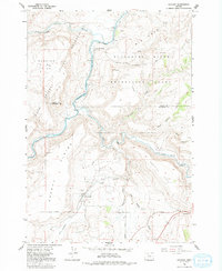
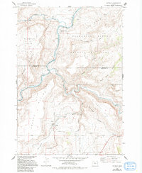
Editions of this 1962 Gateway Map
4 editions found
Other maps of this area

1928 · Madras
USGS Topo · 1:125,000

1931 · Madras
USGS Topo · 1:125,000

1955 · Bend
USGS Topo · 1:250,000

1957 · Bend
USGS Topo · 1:250,000

1958 · Bend
USGS Topo · 1:250,000
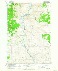
1962 · Kaskela
USGS Topo · 1:24,000

1962 · Eagle Butte
USGS Topo · 1:24,000

1962 · Gateway
USGS Topo · 1:24,000
1962 · Mutton Mtn
USGS Topo · 1:24,000
1963 · Madras West
USGS Topo · 1:24,000