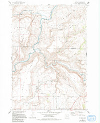
1962 Map of Gateway
USGS Topo · Published 1994About this map
The Warm Springs Indian Reservation boundary follows the winding course of the Deschutes River as it carves through the central Oregon landscape. This 1962 survey, updated with late 20th-century photo-inspections, details a region defined by dramatic plateaus and river-fed transport corridors. The Oregon Trunk Railroad snakes along the river canyon, passing the rail siding at South Junction. To the south, the settlement of Gateway serves as a focal point for local travel, situated where Trout Creek and Mud Springs Creek converge before reaching the Deschutes.
Find a feature on this map
29 named features on this map. Tap any name to fly to it.
Don’t see what you’re looking for? This feature index may not catch every label — zoom into the map to look around manually.
Map Details
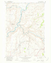
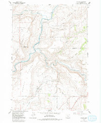
Editions of this 1962 Gateway Map
4 editions found
Other maps of this area

1928 · Madras
USGS Topo · 1:125,000

1931 · Madras
USGS Topo · 1:125,000

1955 · Bend
USGS Topo · 1:250,000

1957 · Bend
USGS Topo · 1:250,000

1958 · Bend
USGS Topo · 1:250,000
1962 · Kaskela
USGS Topo · 1:24,000

1962 · Eagle Butte
USGS Topo · 1:24,000

1962 · Gateway
USGS Topo · 1:24,000
1962 · Mutton Mtn
USGS Topo · 1:24,000
1963 · Madras West
USGS Topo · 1:24,000