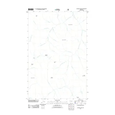
2011 Map of Gateway Pass
USGS Topo · Published 2011About this map
Gateway Pass sits at the heart of this high-elevation landscape, where the continental divide terrain shapes the drainage patterns of the northern Rockies. The area is defined by massive peaks including Mount Patrick Gass, Bighorn Mountain, and Mount Drouillard, which watch over a complex network of alpine waterways. Notable drainage systems like Middle Fork Birch Creek and South Fork Birch Creek intersect the topography, creating natural corridors such as the Gateway Gorge. Evidence of human activity is sparse, centered on the Gateway Cabin and the open expanse of Big River Meadows, suggesting a wilderness area primarily utilized for seasonal traversal or forest management. The presence of numerous named tributaries like Crazy Creek, Punch Creek, and Judy Creek indicates a well-documented watershed essential for local irrigation or habitat preservation.
Find a feature on this map
33 named features on this map. Tap any name to fly to it.
Don’t see what you’re looking for? This feature index may not catch every label — zoom into the map to look around manually.
Map Details
Editions of this 2011 Gateway Pass Map
This is the sole edition of this map. No revisions or reprints were ever made.
Other maps of this area

1903 · Saypo
USGS Topo · 1:125,000

1913 · Marias Pass
USGS Topo · 1:125,000

1914 · Heart Butte
USGS Topo · 1:125,000

1918 · Heart Butte
USGS Topo · 1:125,000

1936 · Silvertip
USGS Topo · 1:96,000

1942 · Silvertip
USGS Topo · 1:125,000

1955 · Choteau
USGS Topo · 1:250,000

1957 · Choteau
USGS Topo · 1:250,000

1958 · Choteau
USGS Topo · 1:250,000

1958 · Porphyry Reef
USGS Topo · 1:24,000