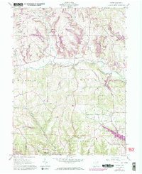
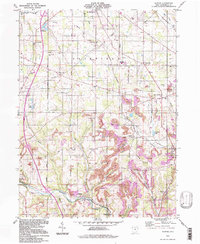
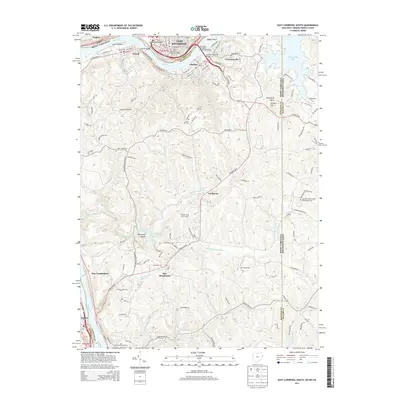
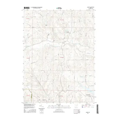
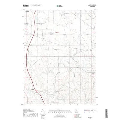
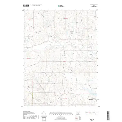
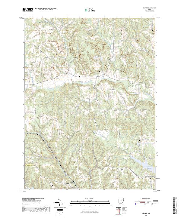
1960 Map of Gavers
USGS Topo · Published 1972About this map
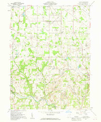
Dungannon and Salineville anchor this portion of Columbiana County, showing a landscape defined by the winding course of the West Fork Little Beaver Creek and its many tributaries like Brush Creek. The 1960s terrain reveals a mix of rural settlement and industrial extraction, with numerous Strip Mines peppered across the northern hills. Deep-rooted community history is visible through several religious landmarks, including St Pauls Cem near the northern boundary and St Patricks Cem to the south. The southern reaches of the map are dominated by the Highlandtown Wildlife Area and the Highlandtown Res, reflecting a shift toward conservation and recreation during the mid-20th century. Transportation is centered on the Penn Central rail line cutting through the southern valleys, while the historic Geographers Line provides a surveying anchor for the township boundaries.
Find a feature on this map
47 named features on this map. Tap any name to fly to it.
Don’t see what you’re looking for? This feature index may not catch every label — zoom into the map to look around manually.
Map Details
Editions of this 1960 Gavers Map
Historical Maps of Salineville Through Time
33 maps found
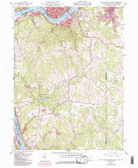
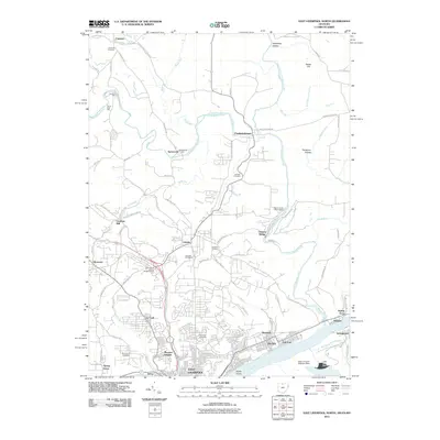
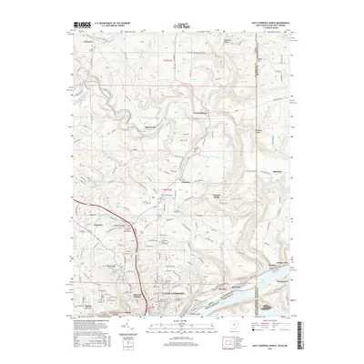
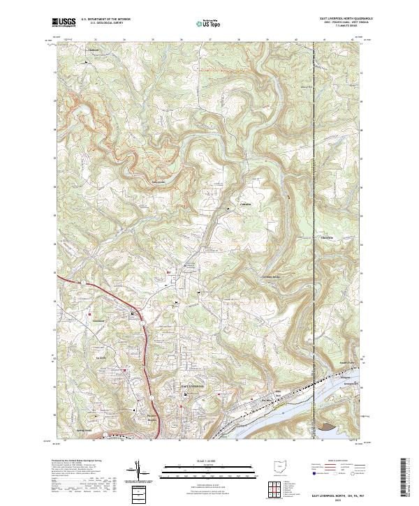
1960 East Liverpool North
Columbiana County, OH
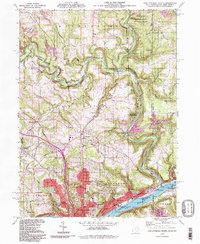
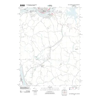
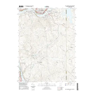
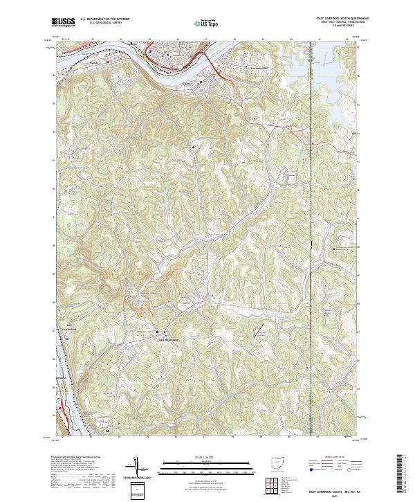
1960 East Liverpool South
Columbiana County, OH
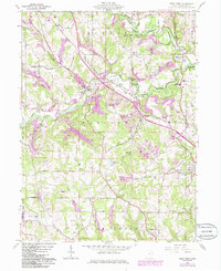
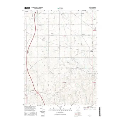
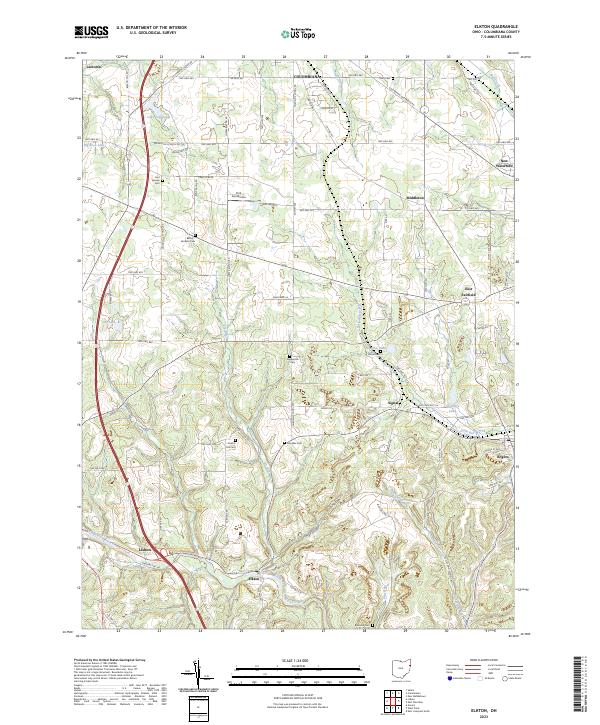
1960 Elkton
Columbiana County, OH
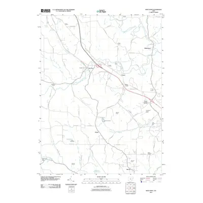
1960 Gavers
Columbiana County, OH
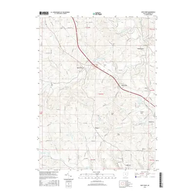
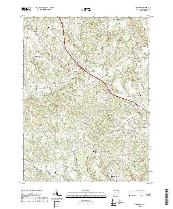
1960 West Point
Columbiana County, OH
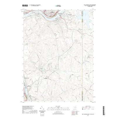
1994 East Liverpool North
Columbiana County, OH
1994 Elkton
Columbiana County, OH
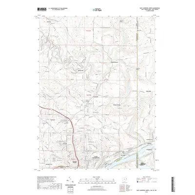
1996 East Liverpool South
Columbiana County, OH
2010 Elkton
Columbiana County, OH
2010 Gavers
Columbiana County, OH
2010 West Point
Columbiana County, OH
2011 East Liverpool North
Columbiana County, OH
2011 East Liverpool South
Columbiana County, OH
2013 East Liverpool North
Columbiana County, OH
2013 East Liverpool South
Columbiana County, OH
2013 Elkton
Columbiana County, OH
2013 Gavers
Columbiana County, OH
2013 West Point
Columbiana County, OH
2016 East Liverpool North
Columbiana County, OH
2016 East Liverpool South
Columbiana County, OH
2016 Elkton
Columbiana County, OH
2016 Gavers
Columbiana County, OH
2016 West Point
Columbiana County, OH
2019 East Liverpool North
Columbiana County, OH
2019 East Liverpool South
Columbiana County, OH
2019 Elkton
Columbiana County, OH
2019 Gavers
Columbiana County, OH

2019 West Point
Columbiana County, OH
2023 East Liverpool North
Columbiana County, OH
2023 East Liverpool South
Columbiana County, OH
2023 Elkton
Columbiana County, OH
2023 Gavers
Columbiana County, OH
2023 West Point
Columbiana County, OH