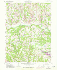
1960 Map of Gavers
USGS Topo · Published 1972About this map
The Geographers Line serves as a critical historical divider on this map, separating the Congress Lands to the north from the Old Seven Ranges to the south. This boundary reflects early American land ordinance surveys, shaping the settlement patterns seen around Dungannon and Gavers. The landscape is defined by the winding course of the West Fork Little Beaver Creek, which is crossed by a notable Covered Bridge and flanked by numerous Strip Mines.
Find a feature on this map
56 named features on this map. Tap any name to fly to it.
Don’t see what you’re looking for? This feature index may not catch every label — zoom into the map to look around manually.
Map Details
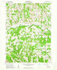
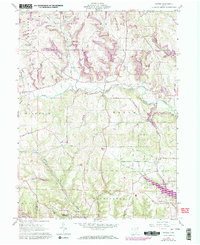
Editions of this 1960 Gavers Map
Other maps of this area

1904 · Wellsville
USGS Topo · 1:62,500

1905 · Salineville
USGS Topo · 1:62,500

1907 · Columbiana
USGS Topo · 1:62,500

1909 · Lisbon
USGS Topo · 1:62,500

1909 · Columbiana
USGS Topo · 1:62,500

1937 · Wellsville
USGS Topo · 1:62,500

1944 · Wellsville
USGS Topo · 1:62,500

1951 · Canton
USGS Topo · 1:250,000

1953 · Canton
USGS Topo · 1:250,000

1957 · Canton
USGS Topo · 1:250,000