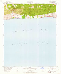
1953 Map of Gaviota
USGS Topo · Published 1961About this map
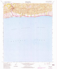
The Santa Ynez Mountains drop sharply to meet the Pacific Ocean on this coastal sheet, where the tight topography dictates a narrow corridor of human movement. Modern infrastructure of the 1950s follows ancient geographical lines, with the Southern Pacific railroad and Highway 101 squeezed between the foothills and the sea. This landscape is defined by its numerous coastal canyons, or cañadas, such as Cañada Alcatraz and Arroyo Hondo, which served as natural drainage and transit routes through the Nuestra Señora de Refugo grant. The presence of the Vista Del Mar Union Sch and the Port Orford (Site) indicates the area's transition from early ranching and shipping roots toward the mid-century development of Gaviota Beach State Park. To the north, the Gaviota Pass remains a critical gateway through the mountains, marked by a Gaviota Pass Historical Marker near Gaviota Creek.
Find a feature on this map
35 named features on this map. Tap any name to fly to it.
Don’t see what you’re looking for? This feature index may not catch every label — zoom into the map to look around manually.
Map Details
Editions of this 1953 Gaviota Map
6 editions found
Other maps of this area

1905 · Lompoc
USGS Topo · 1:125,000

1942 · Lompoc
USGS Topo · 1:125,000

1942 · Lompoc
USGS Topo · 1:62,500

1942 · Pt. Conception
USGS Topo · 1:62,500

1942 · Gaviota
USGS Topo · 1:62,500

1942 · Los Olivos
USGS Topo · 1:62,500

1943 · Los Olivos
USGS Topo · 1:62,500

1943 · Lompoc
USGS Topo · 1:125,000

1943 · Gaviota
USGS Topo · 1:62,500

1947 · Gaviota
USGS Topo · 1:62,500