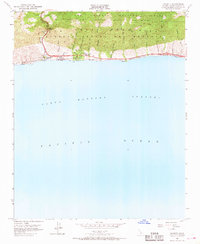
1953 Map of Gaviota
USGS Topo · Published 1968About this map
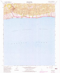
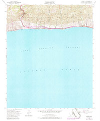
Santa Ynez Mountains rise sharply from the Pacific coast in this mid-century survey, dominated by the narrow passage at Gaviota Pass. The landscape is defined by steep ridges and a series of north-south drainages, including San Onofre Cañada and Cañada del Cementerio, which cut through the Nuestra Señora De Refugeio range. Along the shoreline, the infrastructure of the Southern Pacific railroad and U.S. Route 101 follow the narrow coastal terrace, supporting local industry and the community at Gaviota.
Find a feature on this map
31 named features on this map. Tap any name to fly to it.
Don’t see what you’re looking for? This feature index may not catch every label — zoom into the map to look around manually.
Map Details
Editions of this 1953 Gaviota Map
6 editions found
Other maps of this area

1905 · Lompoc
USGS Topo · 1:125,000

1942 · Lompoc
USGS Topo · 1:125,000

1942 · Lompoc
USGS Topo · 1:62,500

1942 · Pt. Conception
USGS Topo · 1:62,500

1942 · Gaviota
USGS Topo · 1:62,500

1942 · Los Olivos
USGS Topo · 1:62,500

1943 · Los Olivos
USGS Topo · 1:62,500

1943 · Lompoc
USGS Topo · 1:125,000

1943 · Gaviota
USGS Topo · 1:62,500

1947 · Gaviota
USGS Topo · 1:62,500