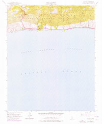
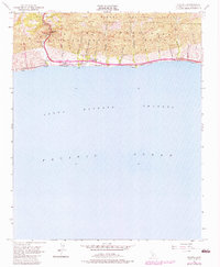
1953 Map of Gaviota
USGS Topo · Published 1976About this map
The Santa Ynez Mountains dominate this coastal landscape, where the rugged terrain of the Los Padres National Forest meets the Pacific Ocean. This 1953 survey, with photorevisions from 1974, details a critical transportation corridor through the Gaviota Pass, where Highway 101 and the Southern Pacific railroad parallel the coastline. The settlement of Gaviota serves as a focal point, featuring the Vista Del Mar Union Sch and proximity to Gaviota Beach State Park.
Find a feature on this map
34 named features on this map. Tap any name to fly to it.
Don’t see what you’re looking for? This feature index may not catch every label — zoom into the map to look around manually.
Map Details
Editions of this 1953 Gaviota Map
6 editions found
Other maps of this area

1905 · Lompoc
USGS Topo · 1:125,000

1942 · Lompoc
USGS Topo · 1:125,000

1942 · Lompoc
USGS Topo · 1:62,500

1942 · Pt. Conception
USGS Topo · 1:62,500

1942 · Gaviota
USGS Topo · 1:62,500

1942 · Los Olivos
USGS Topo · 1:62,500

1943 · Los Olivos
USGS Topo · 1:62,500

1943 · Lompoc
USGS Topo · 1:125,000

1943 · Gaviota
USGS Topo · 1:62,500

1947 · Gaviota
USGS Topo · 1:62,500