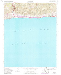
1953 Map of Gaviota
USGS Topo · Published 1986About this map
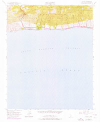
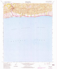
Gaviota Pass serves as the primary northern gateway through the Santa Ynez Mountains on this mid-century survey of the Santa Barbara coast. The landscape is defined by the narrow corridor between the mountains and the Santa Barbara Channel, where the Southern Pacific railroad and Route 101 trace the shoreline. Settlement is concentrated at the coast and the junction of Las Cruces, while much of the terrain is preserved within Los Padres National Forest and Gaviota State Park.
Find a feature on this map
27 named features on this map. Tap any name to fly to it.
Don’t see what you’re looking for? This feature index may not catch every label — zoom into the map to look around manually.
Map Details
Editions of this 1953 Gaviota Map
6 editions found
Other maps of this area

1905 · Lompoc
USGS Topo · 1:125,000

1942 · Lompoc
USGS Topo · 1:125,000

1942 · Lompoc
USGS Topo · 1:62,500

1942 · Pt. Conception
USGS Topo · 1:62,500

1942 · Gaviota
USGS Topo · 1:62,500

1942 · Los Olivos
USGS Topo · 1:62,500

1943 · Los Olivos
USGS Topo · 1:62,500

1943 · Lompoc
USGS Topo · 1:125,000

1943 · Gaviota
USGS Topo · 1:62,500

1947 · Gaviota
USGS Topo · 1:62,500