
1959 Map of Gay Hill
USGS Topo · Published 1960About this map
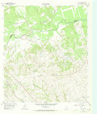
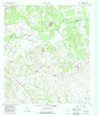
The boundary between Burleson and Washington Counties is defined here by the winding course of Yegua Creek, a landscape where cattle ranching, early oil exploration, and rural community life converged in the late 1950s. The settlement of Gay Hill serves as a local anchor, connected to the wider region by the Gulf Colorado and Santa Fe railroad and the Division Memorial Highway. The map reveals a deeply rooted social geography, marked by several country churches including Old Gay Hill Ch, Frieden Ch, and St Peter Ch, along with the Prairie Hill Sch. Industrial activity is concentrated in the east at the Clay Creek Oil Field and Dallas Oil Field, showing the expansion of petroleum interests into the Brazos River valley hinterlands. Genealogy researchers can also locate the Wallace Cem and Frieden Cem, preserving the names of early Texas settlers in this rolling prairie region.
Find a feature on this map
29 named features on this map. Tap any name to fly to it.
Don’t see what you’re looking for? This feature index may not catch every label — zoom into the map to look around manually.
Map Details
Editions of this 1959 Gay Hill Map
Other maps of this area

1914 · Gay Hill
USGS Topo · 1:62,500

1930 · Brenham
USGS Topo · 1:62,500

1954 · Austin
USGS Topo · 1:250,000

1956 · Brenham
USGS Topo · 1:62,500

1956 · Somerville
USGS Topo · 1:62,500

1958 · Burton
USGS Topo · 1:24,000

1959 · Clay
USGS Topo · 1:24,000

1959 · Somerville
USGS Topo · 1:24,000

1959 · Independence
USGS Topo · 1:24,000

1960 · Lyons
USGS Topo · 1:24,000