2023 Map of Gay
USGS Topo · Published 2023About this map
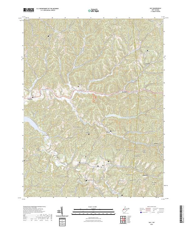
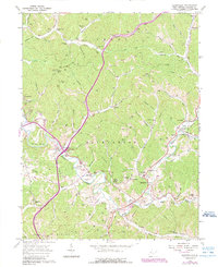
Harmon Ridge and Zion Ridge form the spine of this West Virginia landscape where the border of Jackson and Roane counties meets. The settlement of Gay serves as a central point for a network of rural routes, including the Gay Allentown Rd which connects eastward toward Allentown. The terrain is defined by an intricate system of hollows and forks, such as Left Fork Frozencamp Creek and Little Mill Creek, which have dictated the placement of small communities like Marshall and Louther.
Find a feature on this map
106 named features on this map. Tap any name to fly to it.
Don’t see what you’re looking for? This feature index may not catch every label — zoom into the map to look around manually.
Map Details
Editions of this 2023 Gay Map
This is the sole edition of this map. No revisions or reprints were ever made.
Historical Maps of Lattimer Through Time
15 maps found

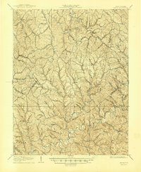
1906 Kenna
Jackson County, WV
1907 Kenna
Jackson County, WV
1957 Kenna
Jackson County, WV
1957 Kentuck
Jackson County, WV
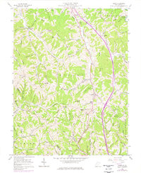
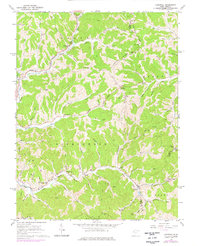
1960 Gay
Jackson County, WV
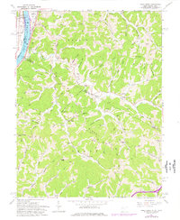
1960 Liverpool
Jackson County, WV
1960 Pond Creek
Jackson County, WV
1960 Sandyville
Jackson County, WV
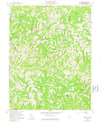
1994 Pond Creek
Jackson County, WV
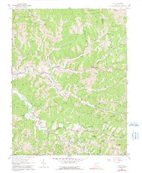
2023 Gay
Jackson County, WV
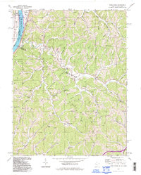
2023 Kenna
Jackson County, WV
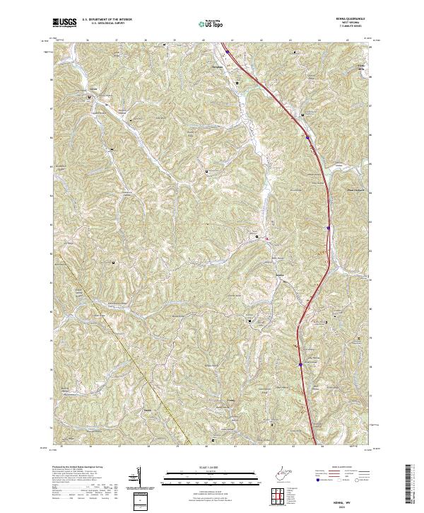
2023 Kentuck
Jackson County, WV
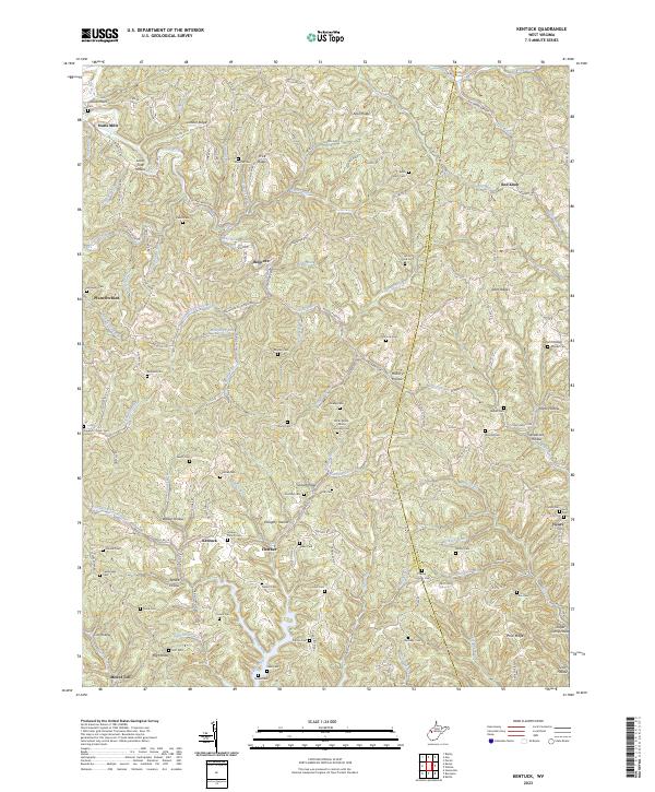
2023 Liverpool
Jackson County, WV
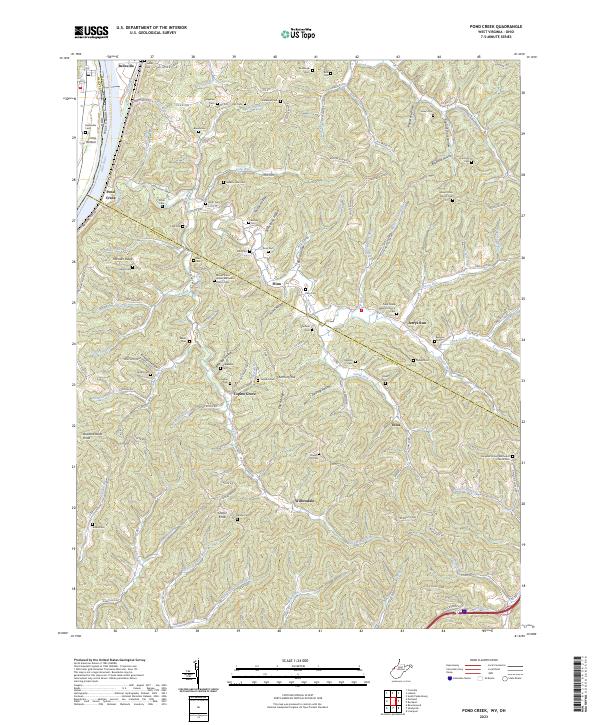
2023 Pond Creek
Jackson County, WV
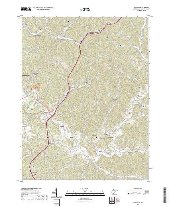
2023 Sandyville
Jackson County, WV