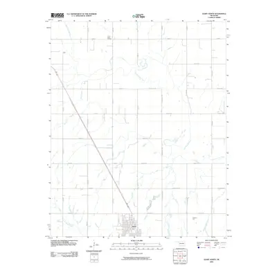
2009 Map of Geary North
USGS Topo · Published 2009About this map
The town of Geary anchors the southern portion of this landscape, where the grid of city streets meets the sprawling rural sections of the southern Plains. To the north, the North Canadian River carves a meandering path across the terrain, accompanied by its tributaries Horse Creek and Lumpmouth Creek. A significant point for local genealogy and cultural history is the Baptist Indian Cemetery, located near the northern edge of the quadrangle. The map reveals a highly structured rural transport network defined by lettered and numbered roads like N 2610 Rd and E0880 Rd, which facilitate movement across the agricultural lands. Rising above the surrounding drainage basins, Coyote Hill provides a distinct topographic landmark in an area otherwise characterized by river valleys and steady prairie elevations.
Find a feature on this map
30 named features on this map. Tap any name to fly to it.
Don’t see what you’re looking for? This feature index may not catch every label — zoom into the map to look around manually.
Map Details
Editions of this 2009 Geary North Map
This is the sole edition of this map. No revisions or reprints were ever made.
Other maps of this area

1893 · Fort Reno
USGS Topo · 1:62,500

1893 · Loyal
USGS Topo · 1:62,500

1941 · Fort Reno
USGS Topo · 1:62,500

1942 · Fort Reno
USGS Topo · 1:62,500

1942 · Geary
USGS Topo · 1:62,500

1949 · Fort Reno
USGS Topo · 1:62,500

1955 · Clinton
USGS Topo · 1:250,000

1957 · Clinton
USGS Topo · 1:250,000

1967 · Fort Reno SW
USGS Topo · 1:24,000

1972 · Watonga
USGS Topo · 1:24,000