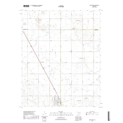
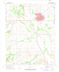
2018 Map of Geary North
USGS Topo · Published 2018About this map
The Jesse Chisholm Grave Site stands as a quiet landmark in the northern reaches of this territory, marking the resting place of the namesake of the famous cattle trail. This landscape is defined by the winding course of the N Canadian River, which cuts through the plains alongside tributaries like Horse Cr and Lumpmouth Cr. The settlement of Geary is detailed at the southern edge, showing the street grid from N Broadway Ave to S Galena Ave as it straddles the Blaine Co and Canadian Co line. To the northwest, the small community of Greenfield sits near the river's upper reaches. The presence of Left Hand Spring and Coyote Hill offers specific points of interest for those tracing the historical geography of these prairie lands during the late 2010s.
Find a feature on this map
39 named features on this map. Tap any name to fly to it.
Don’t see what you’re looking for? This feature index may not catch every label — zoom into the map to look around manually.
Map Details
Editions of this 2018 Geary North Map
This is the sole edition of this map. No revisions or reprints were ever made.
Other maps of this area
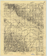
1893 · Fort Reno
USGS Topo · 1:62,500
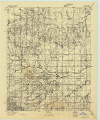
1893 · Loyal
USGS Topo · 1:62,500
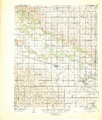
1941 · Fort Reno
USGS Topo · 1:62,500
1942 · Fort Reno
USGS Topo · 1:62,500
1942 · Geary
USGS Topo · 1:62,500
1949 · Fort Reno
USGS Topo · 1:62,500

1955 · Clinton
USGS Topo · 1:250,000

1957 · Clinton
USGS Topo · 1:250,000
1967 · Fort Reno SW
USGS Topo · 1:24,000
1972 · Watonga
USGS Topo · 1:24,000