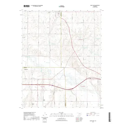
2018 Map of Geary South
USGS Topo · Published 2018About this map
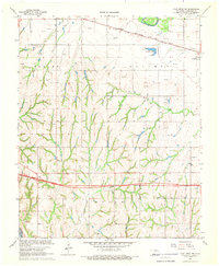
The Canadian River meanders across this landscape where the borders of Caddo, Canadian, and Blaine counties converge. This modern survey illustrates the enduring agricultural and transit corridors of western Oklahoma, anchored by the settlements of Hinton, Geary, and Bridgeport. The town of Hinton is defined by its grid south of the Hinton Municipal Airport, while the route of Old US Hwy 66 and Old 66 Rd traces the path of the historic Mother Road near Graceland Cem.
Find a feature on this map
57 named features on this map. Tap any name to fly to it.
Don’t see what you’re looking for? This feature index may not catch every label — zoom into the map to look around manually.
Map Details
Editions of this 2018 Geary South Map
This is the sole edition of this map. No revisions or reprints were ever made.
Other maps of this area
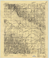
1893 · Fort Reno
USGS Topo · 1:62,500
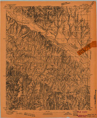
1893 · Buggy Creek
USGS Topo · 1:62,500
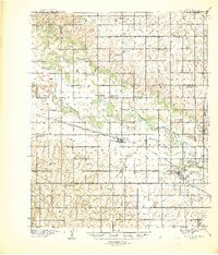
1941 · Fort Reno
USGS Topo · 1:62,500
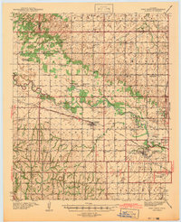
1942 · Fort Reno
USGS Topo · 1:62,500
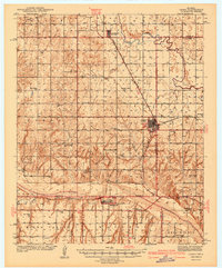
1942 · Geary
USGS Topo · 1:62,500
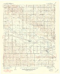
1949 · Fort Reno
USGS Topo · 1:62,500
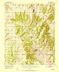
1951 · Binger
USGS Topo · 1:62,500

1955 · Clinton
USGS Topo · 1:250,000

1957 · Clinton
USGS Topo · 1:250,000
1967 · Fort Reno SW
USGS Topo · 1:24,000