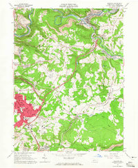
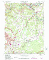
1964 Map of Geistown
USGS Topo · Published 1965About this map
Little Conemaugh River and its south fork dominate this landscape of the 1960s, winding through industrial valleys marked by extensive coal mining operations. The rugged topography between Geistown and South Fork is peppered with strip mines and mine dumps, reflecting the region's heavy reliance on the extractive industry. Near the river's bend, the historic Staple Bend Tunnel remains a landmark of early transportation engineering.
Find a feature on this map
101 named features on this map. Tap any name to fly to it.
Don’t see what you’re looking for? This feature index may not catch every label — zoom into the map to look around manually.
Map Details
Editions of this 1964 Geistown Map
5 editions found
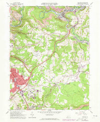
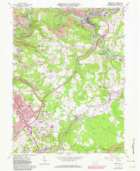
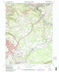
Other maps of this area

1902 · Ebensburg
USGS Topo · 1:62,500

1904 · Ebensburg
USGS Topo · 1:62,500

1904 · Johnstown
USGS Topo · 1:62,500

1907 · Johnstown
USGS Topo · 1:62,500

1908 · Bedford
USGS Topo · 1:62,500

1910 · Bedford
USGS Topo · 1:62,500

1914 · Windber
USGS Topo · 1:62,500

1916 · Windber
USGS Topo · 1:62,500

1944 · Windber
USGS Topo · 1:62,500

1953 · Pittsburgh
USGS Topo · 1:250,000