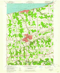
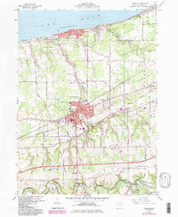
1960 Map of Geneva
USGS Topo · Published 1961About this map
Geneva serves as the central hub of this 1960 survey, situated between the agricultural landscape of Harpersfield to the south and the recreational shores of Lake Erie to the north. The city's core is densely packed with local landmarks, including the Assumption Ch, Evergreen Cem, and the High Sch. To the north, Geneva-on-the-Lake and Saybrook-on-the-Lake reveal the mid-century development of the lakeshore, complete with an Airstrip and Golf Course. The industrial and transport importance of the area is evidenced by the parallel lines of the New York Central and St Louis Railroad and the New York Chicago and St Louis Railroad cutting through the center of the sheet. Along the southern border, the Grand River meanders toward Mechanicsville, providing a stark contrast to the straight-line development of the railroads and lakefront roads.
Find a feature on this map
39 named features on this map. Tap any name to fly to it.
Don’t see what you’re looking for? This feature index may not catch every label — zoom into the map to look around manually.
Map Details
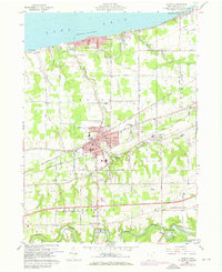
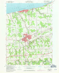
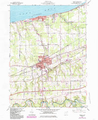
Editions of this 1960 Geneva Map
5 editions found
Other maps of this area

1904 · Chardon
USGS Topo · 1:62,500

1905 · Ashtabula
USGS Topo · 1:62,500

1905 · Perry
USGS Topo · 1:62,500

1905 · Jefferson
USGS Topo · 1:62,500

1906 · Chardon
USGS Topo · 1:62,500

1907 · Jefferson
USGS Topo · 1:62,500

1950 · Cleveland
USGS Topo · 1:250,000

1956 · Cleveland
USGS Topo · 1:250,000

1959 · East Trumbull
USGS Topo · 1:24,000

1960 · Ashtabula South
USGS Topo · 1:24,000