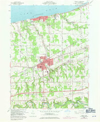
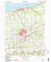
1960 Map of Geneva
USGS Topo · Published 1971About this map
The Lake Erie shoreline defines the northern edge of this Ashtabula County landscape, where the resort atmosphere of Geneva-on-the-Lake contrasts with the industrial and agricultural interior. In the municipal center of Geneva, a concentrated grid of streets like Broadway and Chestnut Street surrounds the Po, Library, and City Hall. This period of the mid-twentieth century shows the transition of regional transportation, as the Penn Central and Norfolk and Western railroads cut through the township, while local aviation is served by small fields like Woerner Airport and Germack Airport. To the south, the terrain follows the winding course of the Grand River, where a Covered Bridge is noted near Harpersfield. The map is a valuable resource for genealogists, documenting numerous burial sites including Evergreen Cem, Mount Pleasant Cem, and Hutchins Cem scattered across the rural townships.
Find a feature on this map
73 named features on this map. Tap any name to fly to it.
Don’t see what you’re looking for? This feature index may not catch every label — zoom into the map to look around manually.
Map Details
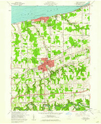
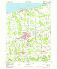
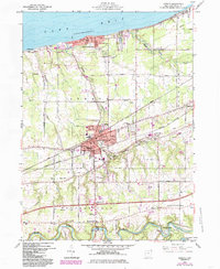
Editions of this 1960 Geneva Map
5 editions found
Other maps of this area

1904 · Chardon
USGS Topo · 1:62,500

1905 · Ashtabula
USGS Topo · 1:62,500

1905 · Perry
USGS Topo · 1:62,500

1905 · Jefferson
USGS Topo · 1:62,500

1906 · Chardon
USGS Topo · 1:62,500

1907 · Jefferson
USGS Topo · 1:62,500

1950 · Cleveland
USGS Topo · 1:250,000

1956 · Cleveland
USGS Topo · 1:250,000

1959 · East Trumbull
USGS Topo · 1:24,000

1960 · Ashtabula South
USGS Topo · 1:24,000