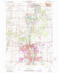
1964 Map of Geneva
USGS Topo · Published 1987About this map
The Fox River corridor serves as the central spine of this mid-century survey, anchoring the industrial and institutional growth of St Charles and Geneva. The map reveals a landscape defined by significant state and religious institutions, including the State Training Sch for Boys, the State Training Sch for Girls, and several theological centers such as Sacred Heart Seminary and St Joseph Seminary. The expansion of the Chicago suburbs is evident through the purple-tinted urban updates, contrasting with the extensive Gravel Pits and the Pratts Wayne Woods Forest Preserve. Transportation networks like the Illinois Central Gulf and Chicago and North Western railroads intersect the river valley, while the presence of the Du Page County Airport on the eastern edge signals the area's transition into a regional hub.
Find a feature on this map
69 named features on this map. Tap any name to fly to it.
Don’t see what you’re looking for? This feature index may not catch every label — zoom into the map to look around manually.
Map Details
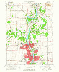
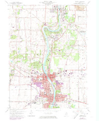
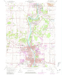
Editions of this 1964 Geneva Map
4 editions found
Other maps of this area

1908 · Wheaton
USGS Topo · 1:62,500

1923 · Barrington
USGS Topo · 1:62,500

1925 · Elgin
USGS Topo · 1:62,500

1932 · Geneva
USGS Topo · 1:62,500

1935 · Barrington
USGS Topo · 1:62,500

1940 · Elgin
USGS Topo · 1:62,500

1948 · Wheaton
USGS Topo · 1:62,500

1948 · Geneva
USGS Topo · 1:62,500

1949 · Geneva
USGS Topo · 1:24,000

1950 · Aurora North
USGS Topo · 1:24,000