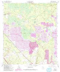
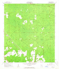
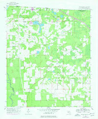
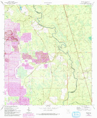
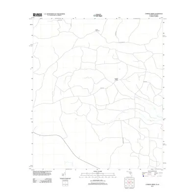
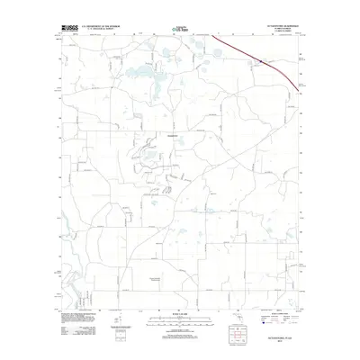
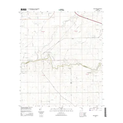
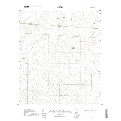
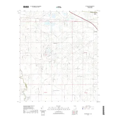
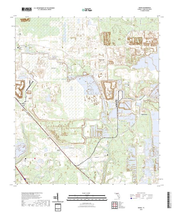
1962 Map of Genoa
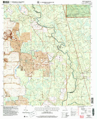
USGS Topo · Published 1993About this map
Swift Creek Swamp and the dense wetlands of Bee Haven Bay dominate this Hamilton County landscape, where the local economy shifted dramatically between the original 1962 survey and its 1993 revision. Early turpentine and timber settlements like Blacks Still, Camps Still, and Purvis Still represent the historical industry of the pine forests, while later purple-shaded revisions reveal the expansion of massive strip mine operations and tailings ponds that have reconfigured the terrain around Genoa.
Find a feature on this map
35 named features on this map. Tap any name to fly to it.
Don’t see what you’re looking for? This feature index may not catch every label — zoom into the map to look around manually.
Map Details
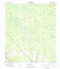
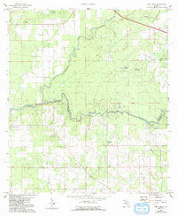
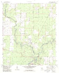
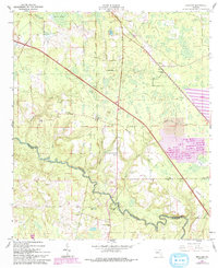
Editions of this 1962 Genoa Map
3 editions found
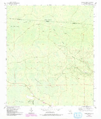
Historical Maps of Genoa Through Time
45 maps found
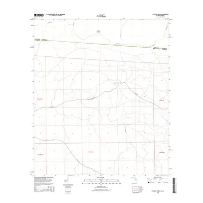
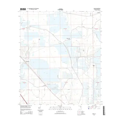
1955 Cypress Creek
Hamilton County, FL
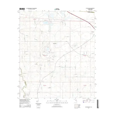
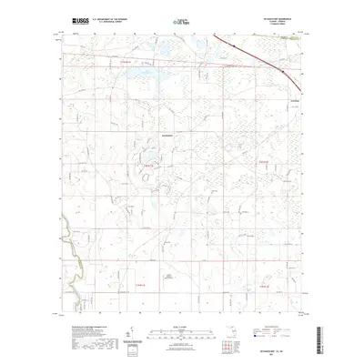
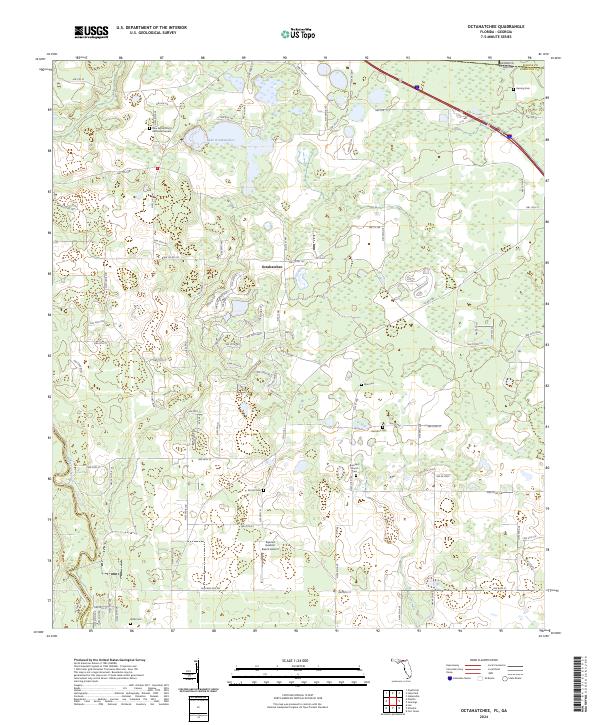
1956 Octahatchee
Hamilton County, FL
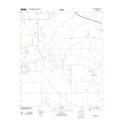
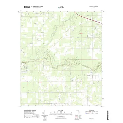
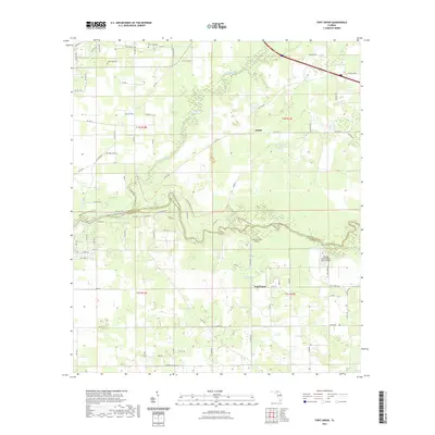
1958 Fort Union
Hamilton County, FL
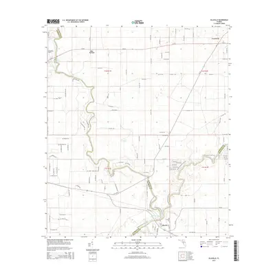
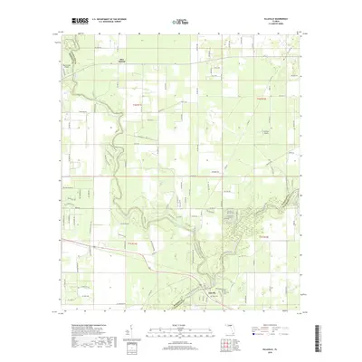
1959 Ellaville
Hamilton County, FL
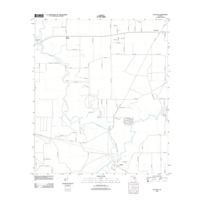
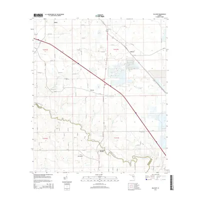
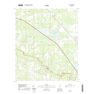
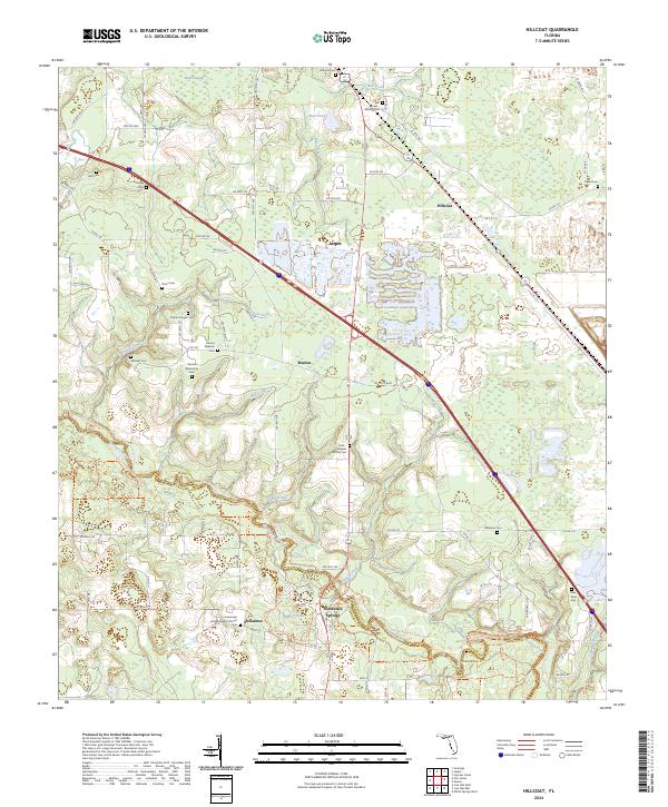
1961 Hillcoat
Hamilton County, FL
1962 Genoa
Hamilton County, FL
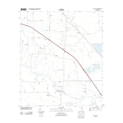
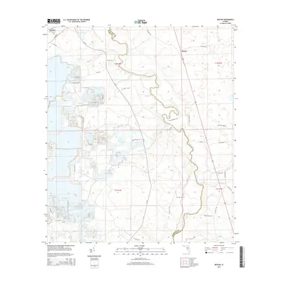
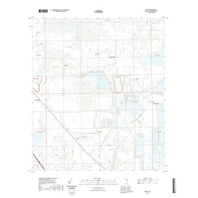
1969 Benton
Hamilton County, FL
2006 Benton
Hamilton County, FL
2011 Cypress Creek
Hamilton County, FL
2011 Octahatchee
Hamilton County, FL

2012 Benton
Hamilton County, FL
2012 Cypress Creek
Hamilton County, FL
2012 Ellaville
Hamilton County, FL
2012 Fort Union
Hamilton County, FL

2012 Genoa
Hamilton County, FL
2012 Hillcoat
Hamilton County, FL
2012 Octahatchee
Hamilton County, FL
2015 Benton
Hamilton County, FL
2015 Cypress Creek
Hamilton County, FL
2015 Ellaville
Hamilton County, FL
2015 Fort Union
Hamilton County, FL
2015 Genoa
Hamilton County, FL
2015 Hillcoat
Hamilton County, FL
2015 Octahatchee
Hamilton County, FL

2018 Benton
Hamilton County, FL
2018 Cypress Creek
Hamilton County, FL
2018 Ellaville
Hamilton County, FL
2018 Fort Union
Hamilton County, FL

2018 Genoa
Hamilton County, FL
2018 Hillcoat
Hamilton County, FL
2018 Octahatchee
Hamilton County, FL
2021 Benton
Hamilton County, FL
2021 Cypress Creek
Hamilton County, FL
2021 Ellaville
Hamilton County, FL
2021 Fort Union
Hamilton County, FL
2021 Genoa
Hamilton County, FL
2021 Hillcoat
Hamilton County, FL
2021 Octahatchee
Hamilton County, FL
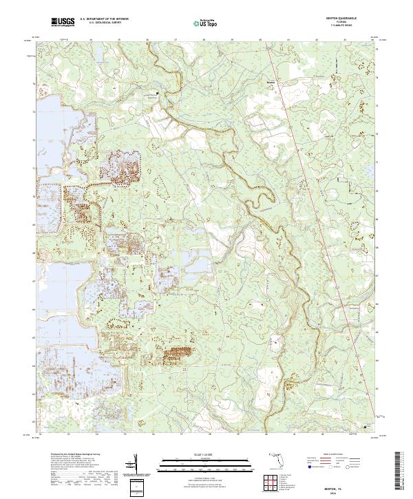
2024 Benton
Hamilton County, FL
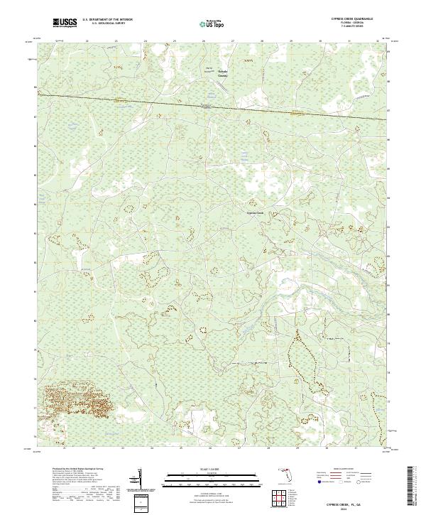
2024 Cypress Creek
Hamilton County, FL
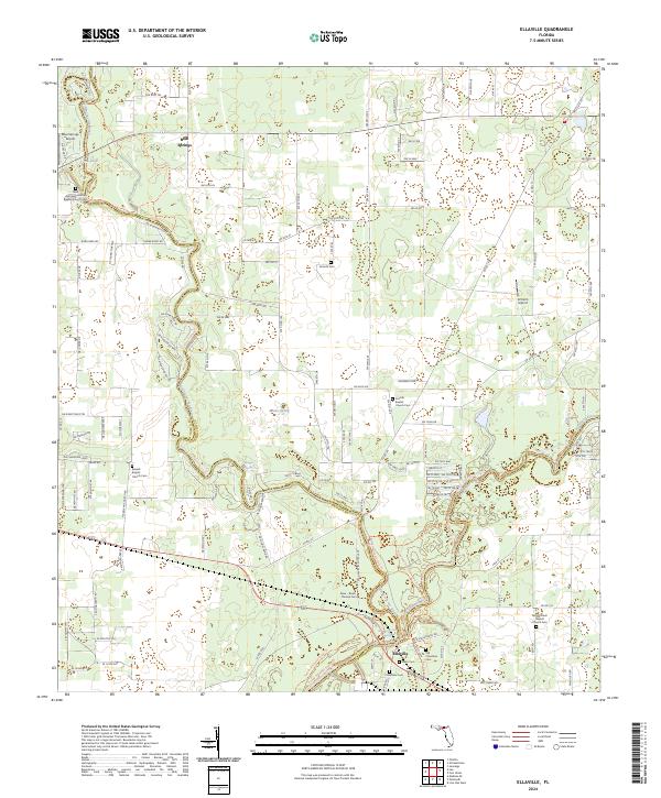
2024 Ellaville
Hamilton County, FL
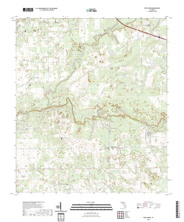
2024 Fort Union
Hamilton County, FL
2024 Genoa
Hamilton County, FL
2024 Hillcoat
Hamilton County, FL
2024 Octahatchee
Hamilton County, FL