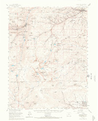
1957 Map of Georgetown
USGS Topo · Published 1966About this map
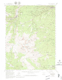
Georgetown and the adjacent silver-mining districts of the Front Range appear here in the mid-1950s, a period when the region's industrial legacy was shifting toward recreation and scientific research. The map documents the extensive network of tunnels and shafts that once fueled the local economy, including the Mendota Mine and Lamartine Mine, alongside the historic Georgetown Loop (Site). While older settlements like Silver Plume and Silverdale remain central, the presence of the Inter-Univ High Altitude Lab near Mt Evans and Summit Lake signals the area's emerging role in atmospheric study.
Find a feature on this map
131 named features on this map. Tap any name to fly to it.
Don’t see what you’re looking for? This feature index may not catch every label — zoom into the map to look around manually.
Map Details
Editions of this 1957 Georgetown Map
5 editions found
Other maps of this area

1893 · Platte Canyon
USGS Topo · 1:125,000

1899 · West Denver
USGS Topo · 1:125,000

1903 · Georgetown
USGS Topo · 1:62,500

1905 · Central City
USGS Topo · 1:62,500

1905 · Georgetown
USGS Topo · 1:62,500

1906 · Blackhawk
USGS Topo · 1:62,500

1910 · Central City
USGS Topo · 1:62,500

1912 · Central City
USGS Topo · 1:62,500

1924 · Montezuma
USGS Topo · 1:62,500

1924 · Fraser
USGS Topo · 1:62,500