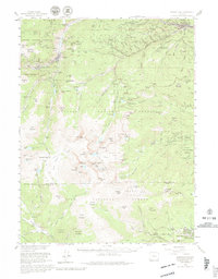
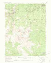
1957 Map of Georgetown
USGS Topo · Published 1980About this map
Georgetown and the high peaks of the Front Range appear here in a mid-century compilation, capturing the region's transition from a hard-rock mining hub to a high-altitude recreational destination. The landscape is dense with industrial legacies, particularly the complex of tunnels and shafts around Silver Plume and the slopes of Sherman Mtn. Landmarks of the mining era include the Mendota Mine, Kelly Tunnel, and Anglo Saxon Mine, alongside newer developments like the Guanella Pass Road.
Find a feature on this map
113 named features on this map. Tap any name to fly to it.
Don’t see what you’re looking for? This feature index may not catch every label — zoom into the map to look around manually.
Map Details
Editions of this 1957 Georgetown Map
5 editions found
Other maps of this area

1893 · Platte Canyon
USGS Topo · 1:125,000

1899 · West Denver
USGS Topo · 1:125,000

1903 · Georgetown
USGS Topo · 1:62,500

1905 · Central City
USGS Topo · 1:62,500

1905 · Georgetown
USGS Topo · 1:62,500

1906 · Blackhawk
USGS Topo · 1:62,500

1910 · Central City
USGS Topo · 1:62,500

1912 · Central City
USGS Topo · 1:62,500

1924 · Montezuma
USGS Topo · 1:62,500

1924 · Fraser
USGS Topo · 1:62,500