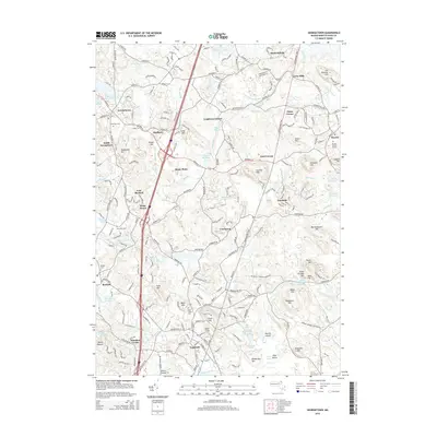
2015 Map of Georgetown
USGS Topo · Published 2015About this map
Georgetown and Topsfield serve as primary anchors in this landscape of the North Shore, where the Ipswich River and Parker River systems carve through a series of prominent glacial hills. The map reveals a dense network of local history, from the historic Rowley Burial Ground to the industrial legacy suggested by Upper Millpond and Lower Millpond. Settlement patterns here follow established crossroads at locations like Doles Corner and Kent Corner, while the terrain is defined by named elevations such as Prospect Hill and Hunsley Hills. The presence of multiple reservoirs, including the Bull Brook Reservoir and Fish Brook Reservoir, highlights the regional importance of water management for these coastal communities. Between the clustered town centers of Boxford and Rowley, the map documents a transition from suburban residential developments to the preserved open spaces of Kings Forest and the wetland reaches of Great Swamp Brook.
Find a feature on this map
218 named features on this map. Tap any name to fly to it.
Don’t see what you’re looking for? This feature index may not catch every label — zoom into the map to look around manually.
Map Details
Editions of this 2015 Georgetown Map
This is the sole edition of this map. No revisions or reprints were ever made.
Other maps of this area

1886 · Lawrence
USGS Topo · 1:62,500

1888 · Newburyport
USGS Topo · 1:62,500

1888 · Haverhill
USGS Topo · 1:62,500

1888 · Lawrence
USGS Topo · 1:62,500

1888 · Salem
USGS Topo · 1:62,500

1890 · Haverhill
USGS Topo · 1:62,500

1890 · Newburyport
USGS Topo · 1:62,500

1893 · Salem
USGS Topo · 1:62,500

1893 · Lawrence
USGS Topo · 1:62,500

1893 · Haverhill
USGS Topo · 1:62,500