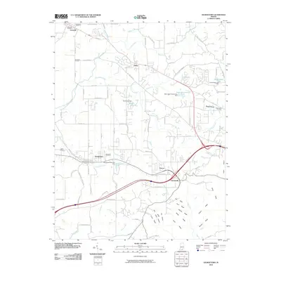
2010 Map of Georgetown
USGS Topo · Published 2010About this map
Georgetown and the surrounding Floyd County settlements of Greenville, Galena, and Floyds Knobs define this landscape as it appeared in the early 21st century. The map reveals a complex network of residential growth concentrated around traditional town centers and major road corridors like Old Vincennes Rd and Paoli Pike. The local geography is marked by several significant water bodies and their associated infrastructure, including Georgetown Lake with its Georgetown Reservoir Dam, and the Mount Saint Frances Lake north of Edwardsville.
Find a feature on this map
98 named features on this map. Tap any name to fly to it.
Don’t see what you’re looking for? This feature index may not catch every label — zoom into the map to look around manually.
Map Details
Editions of this 2010 Georgetown Map
This is the sole edition of this map. No revisions or reprints were ever made.
Other maps of this area

1909 · Kosmosdale
USGS Topo · 1:48,000

1912 · Kosmosdale
USGS Topo · 1:62,500

1931 · Corydon
USGS Topo · 1:62,500

1938 · Speed
USGS Topo · 1:24,000

1939 · New Albany
USGS Topo · 1:24,000

1939 · Georgetown
USGS Topo · 1:24,000

1941 · Borden
USGS Topo · 1:24,000

1946 · New Albany
USGS Topo · 1:24,000

1947 · Speed
USGS Topo · 1:24,000

1947 · Georgetown
USGS Topo · 1:24,000