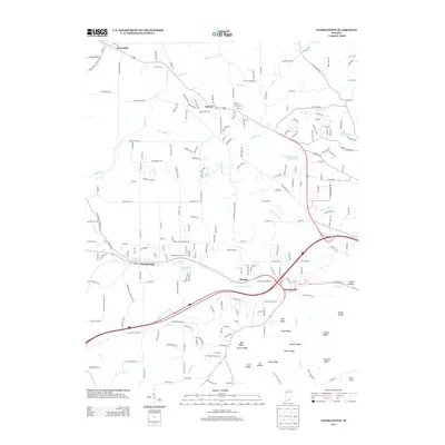
2013 Map of Georgetown
USGS Topo · Published 2013About this map
Georgetown and the surrounding Floyd County highlands are defined by a series of prominent ridges and drainage basins that have shaped local settlement for generations. The terrain is marked by distinct landforms such as Pear Ridge and Skipsey Ridge, alongside deep-set valleys like Cave Hollow and Als Hollow. Water resources are central to the geography here, with Georgetown Lake and Brazils Lake providing managed water storage amidst a network of natural streams including Indian Cr, Little Indian Cr, and Yellow Fork. The layout of the small towns—Edwardsville, Galena, and Greenville—reveals how transportation routes like Old Vincennes Rd and Corydon Ridge Rd follow the natural contours of the land, connecting these dispersed communities across the upland plateaus and hollows.
Find a feature on this map
215 named features on this map. Tap any name to fly to it.
Don’t see what you’re looking for? This feature index may not catch every label — zoom into the map to look around manually.
Map Details
Editions of this 2013 Georgetown Map
This is the sole edition of this map. No revisions or reprints were ever made.
Other maps of this area
1909 · Kosmosdale
USGS Topo · 1:48,000
1912 · Kosmosdale
USGS Topo · 1:62,500
1931 · Corydon
USGS Topo · 1:62,500
1938 · Speed
USGS Topo · 1:24,000
1939 · New Albany
USGS Topo · 1:24,000
1939 · Georgetown
USGS Topo · 1:24,000
1941 · Borden
USGS Topo · 1:24,000
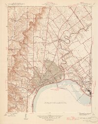
1946 · New Albany
USGS Topo · 1:24,000
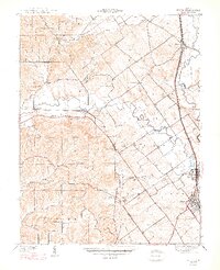
1947 · Speed
USGS Topo · 1:24,000
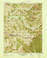
1947 · Georgetown
USGS Topo · 1:24,000