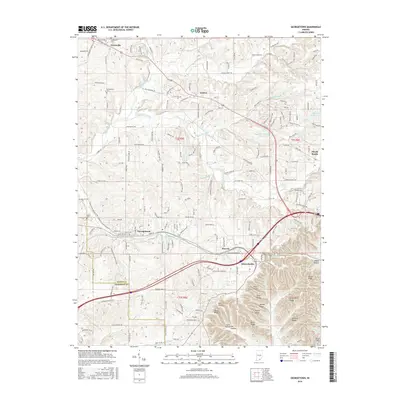
2016 Map of Georgetown
USGS Topo · Published 2016About this map
Georgetown anchors this survey of southern Indiana, situated along a prominent transit corridor that connects the settlements of Edwardsville and Duncan. The landscape is defined by the transition from the relatively level agricultural lands near Greenville in the north to the deeply dissected ridge systems of the south. These landforms, including Bell Ridge, Ulmer Ridge, and Pear Ridge, dictate the winding paths of rural routes like Old Vincennes Rd.
Find a feature on this map
172 named features on this map. Tap any name to fly to it.
Don’t see what you’re looking for? This feature index may not catch every label — zoom into the map to look around manually.
Map Details
Editions of this 2016 Georgetown Map
This is the sole edition of this map. No revisions or reprints were ever made.
Other maps of this area
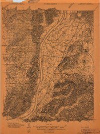
1909 · Kosmosdale
USGS Topo · 1:48,000
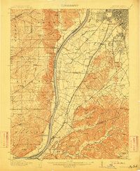
1912 · Kosmosdale
USGS Topo · 1:62,500
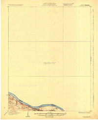
1931 · Corydon
USGS Topo · 1:62,500
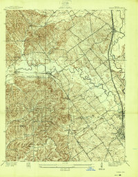
1938 · Speed
USGS Topo · 1:24,000
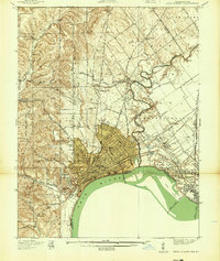
1939 · New Albany
USGS Topo · 1:24,000
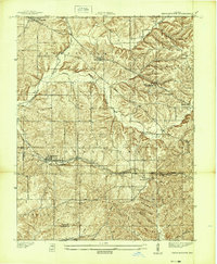
1939 · Georgetown
USGS Topo · 1:24,000
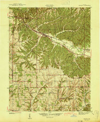
1941 · Borden
USGS Topo · 1:24,000
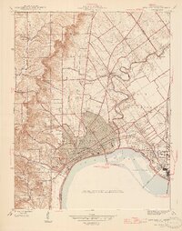
1946 · New Albany
USGS Topo · 1:24,000
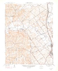
1947 · Speed
USGS Topo · 1:24,000
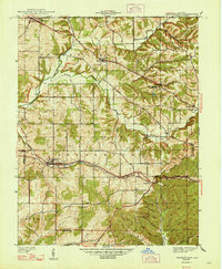
1947 · Georgetown
USGS Topo · 1:24,000