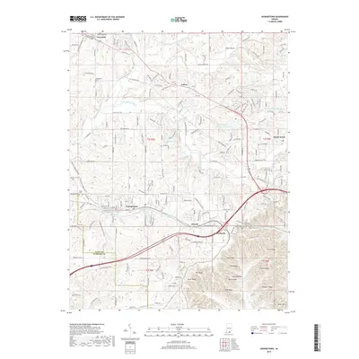
2019 Map of Georgetown
USGS Topo · Published 2019About this map
Georgetown and the surrounding high ground of western Floyd County are defined by a series of prominent ridges and deep hollows that transition toward the Harrison County line. The settlement pattern follows the established corridors of the Norfolk Southern railroad and historic thoroughfares like Old Vincennes Rd, which connects the smaller communities of Galena and Greenville. The landscape is punctuated by numerous family and community landmarks, including Green Lawn Cem and Wolfe Cem, alongside a network of upland water bodies like Brazils Lake and Mount Saint Frances Lake. To the south and east, the terrain becomes increasingly complex near Edwardsville, where the drainage of Knob Cr carves out distinctive features such as Cave Hollow and Als Hollow, while ridges like Pond Ridge and Musty Ridge dominate the local topography.
Find a feature on this map
200 named features on this map. Tap any name to fly to it.
Don’t see what you’re looking for? This feature index may not catch every label — zoom into the map to look around manually.
Map Details
Editions of this 2019 Georgetown Map
This is the sole edition of this map. No revisions or reprints were ever made.
Other maps of this area
1909 · Kosmosdale
USGS Topo · 1:48,000
1912 · Kosmosdale
USGS Topo · 1:62,500
1931 · Corydon
USGS Topo · 1:62,500
1938 · Speed
USGS Topo · 1:24,000
1939 · New Albany
USGS Topo · 1:24,000
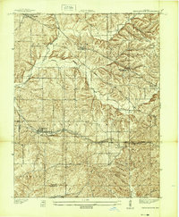
1939 · Georgetown
USGS Topo · 1:24,000
1941 · Borden
USGS Topo · 1:24,000
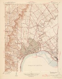
1946 · New Albany
USGS Topo · 1:24,000
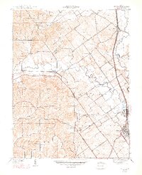
1947 · Speed
USGS Topo · 1:24,000
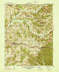
1947 · Georgetown
USGS Topo · 1:24,000