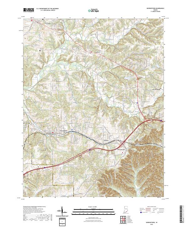
2022 Map of Georgetown
USGS Topo · Published 2022About this map
The town of Georgetown serves as a central hub in this western portion of Floyd Co near the Harrison Co line. The landscape is defined by the sharp transition between the upland drainage of Indian Creek and the dramatic topography of the Floyds Knobs region to the east. Local history is anchored by markers such as Green Lawn Cem in Greenville and Buttontown Cem near the settlement of Buttontown. Several notable water bodies, including Georgetown Lake and Mount Saint Frances Lake, are situated among the dissected ridges. The southern portion of the map reveals a series of named landforms, including Ulmer Ridge, Bell Ridge, and Musty Ridge, which illustrate the complex drainage patterns of Woertz Cr and Lazy Cr as they flow through the deeply carved valleys of Cave Hollow and Ash Hollow.
Find a feature on this map
241 named features on this map. Tap any name to fly to it.
Don’t see what you’re looking for? This feature index may not catch every label — zoom into the map to look around manually.
Map Details
Editions of this 2022 Georgetown Map
This is the sole edition of this map. No revisions or reprints were ever made.
Other maps of this area

1909 · Kosmosdale
USGS Topo · 1:48,000

1912 · Kosmosdale
USGS Topo · 1:62,500

1931 · Corydon
USGS Topo · 1:62,500

1938 · Speed
USGS Topo · 1:24,000

1939 · New Albany
USGS Topo · 1:24,000

1939 · Georgetown
USGS Topo · 1:24,000

1941 · Borden
USGS Topo · 1:24,000

1946 · New Albany
USGS Topo · 1:24,000

1947 · Speed
USGS Topo · 1:24,000

1947 · Georgetown
USGS Topo · 1:24,000