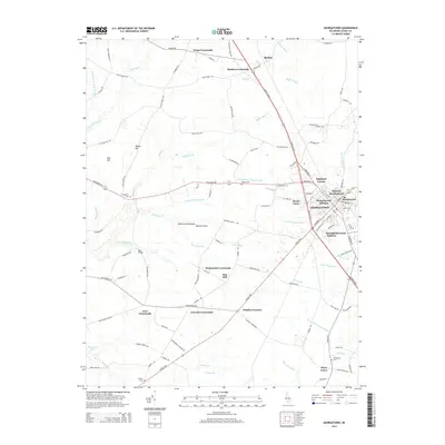
2014 Map of Georgetown
USGS Topo · Published 2014About this map
Georgetown serves as a central hub on the Delmarva Peninsula in this 2014 survey, surrounded by a dense network of residential additions and rural crossroads. The town's growth is evident in developments like Highland Terrace, Murrays Development, and Springfield Farms Addition. Beyond the town center, the landscape is defined by its agricultural drainage, marked by an extensive system of named ditches such as Layton-Vaughn Ditch, Mifflin Ditch, and Alms House Ditch. Small, family and community-oriented settlements like Harlemtown and Swain Acres are scattered throughout the region. Several legacy burial grounds, including Union Cem and Cokesbury Cem, are preserved among the woods and fields, providing significant value for genealogical research. The road network connects historic intersections like Whaleys Corners and Knowles Crossroads, reflecting the region's long-standing inland transit patterns.
Find a feature on this map
116 named features on this map. Tap any name to fly to it.
Don’t see what you’re looking for? This feature index may not catch every label — zoom into the map to look around manually.
Map Details
Editions of this 2014 Georgetown Map
This is the sole edition of this map. No revisions or reprints were ever made.
Other maps of this area

1915 · Seaford
USGS Topo · 1:62,500

1917 · Millsboro
USGS Topo · 1:62,500

1918 · Cedar Creek
USGS Topo · 1:62,500

1918 · Harrington
USGS Topo · 1:62,500

1919 · Cedar Creek
USGS Topo · 1:62,500

1938 · Cedar Creek
USGS Topo · 1:62,500

1938 · Millsboro
USGS Topo · 1:62,500
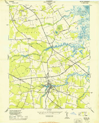
1944 · Milton
USGS Topo · 1:24,000

1944 · Cedar Creek
USGS Topo · 1:62,500

1944 · Millsboro
USGS Topo · 1:62,500