Loading...
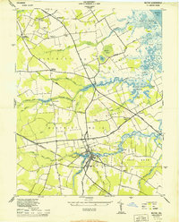
Loading map...1944 Map of Milton
USGS Topo · Published 1944About this map
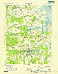
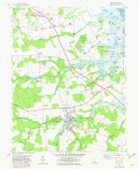
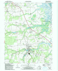
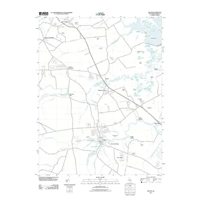
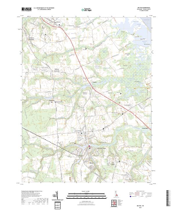
Milton serves as the focal point of this 1940s coastal survey, situated at the head of the Broadkill River and serving as a vital junction for the Pennsylvania Railroad. The map reveals a landscape defined by several prominent necks of land extending toward the marshes of the Delaware Bay, including Slaughter Neck and Primehook Neck. Local industry and infrastructure are evident through Reynolds Mill and numerous named landings such as Hevelo Ldg and Chemical Ldg, which reflect the historic river-based trade of Sussex County.
Find a feature on this map
68 named features on this map. Tap any name to fly to it.
Don’t see what you’re looking for? This feature index may not catch every label — zoom into the map to look around manually.
Map Details
Date Portrayed1944
Date Published1944
PublisherU.S. Geological Survey
Map TypeTopographic
Scale1:24,000
Physical Dimensions22 x 27.2 inches
Editions of this 1944 Milton Map
2 editions found
Historical Maps of Milton Through Time
8 maps found
Featured Locations
Source Details
SourceU.S. Geological Survey
CopyrightPublic Domain