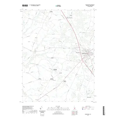
2019 Map of Georgetown
USGS Topo · Published 2019About this map
Georgetown serves as the focal point of this Sussex County landscape, where the street grid of the county seat meets a complex network of agricultural drainage and timberland. The surrounding countryside is defined by several long-established intersections, including Kings Crossroads, McDonalds Crossroads, and Knowles Crossroads, reflecting a settlement pattern of dispersed rural communities. A significant number of small burial grounds, such as Cokesbury Cem, Hebron Cem, and Providence Cem, are scattered throughout the quadrangle, often marking the locations of earlier family farms or neighborhood churches like Rum Bridge.
Find a feature on this map
119 named features on this map. Tap any name to fly to it.
Don’t see what you’re looking for? This feature index may not catch every label — zoom into the map to look around manually.
Map Details
Editions of this 2019 Georgetown Map
This is the sole edition of this map. No revisions or reprints were ever made.
Other maps of this area

1915 · Seaford
USGS Topo · 1:62,500

1917 · Millsboro
USGS Topo · 1:62,500

1918 · Cedar Creek
USGS Topo · 1:62,500

1918 · Harrington
USGS Topo · 1:62,500

1919 · Cedar Creek
USGS Topo · 1:62,500

1938 · Cedar Creek
USGS Topo · 1:62,500

1938 · Millsboro
USGS Topo · 1:62,500
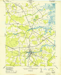
1944 · Milton
USGS Topo · 1:24,000

1944 · Cedar Creek
USGS Topo · 1:62,500

1944 · Millsboro
USGS Topo · 1:62,500