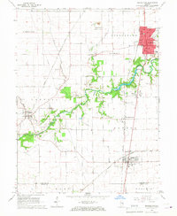
1966 Map of Georgetown
USGS Topo · Published 1967About this map
Georgetown serves as the primary urban hub of this mid-1960s landscape, positioned near the Little Vermilion River and surrounded by a network of smaller agricultural and industrial settlements. The map illustrates a region defined by its transit corridors, where the Chicago and Eastern Illinois, New York Central, and Norfolk and Western railroads converge to support the local economy. Beyond the town centers of Indianola, Ridge Farm, and Olivet, the rural landscape is dotted with family and community landmarks such as Sandusky Cem and Mt Pisgah Ch. Evidence of earlier industrial activity persists through features like the Mine Dump near the small community of Bunsenville. This survey preserves the exact locations of many local schools, including Frazer Sch, and civic infrastructure like the riverfront Waterworks, providing a detailed view of the Vermilion County and Edgar County borderlands before modern consolidation.
Find a feature on this map
39 named features on this map. Tap any name to fly to it.
Don’t see what you’re looking for? This feature index may not catch every label — zoom into the map to look around manually.
Map Details
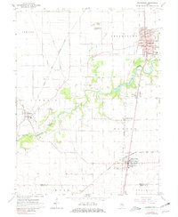
Editions of this 1966 Georgetown Map
2 editions found
Other maps of this area

1899 · Danville
USGS Topo · 1:62,500

1900 · Danville
USGS Topo · 1:62,500

1931 · Fithian
USGS Topo · 1:48,000

1943 · Fithian
USGS Topo · 1:62,500

1947 · Ridge Farm
USGS Topo · 1:62,500

1949 · Danville SW
USGS Topo · 1:24,000

1950 · Danville SW
USGS Topo · 1:24,000

1950 · Danville SE
USGS Topo · 1:24,000

1951 · Danville SE
USGS Topo · 1:24,000

1953 · Danville
USGS Topo · 1:250,000