Loading...
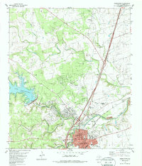
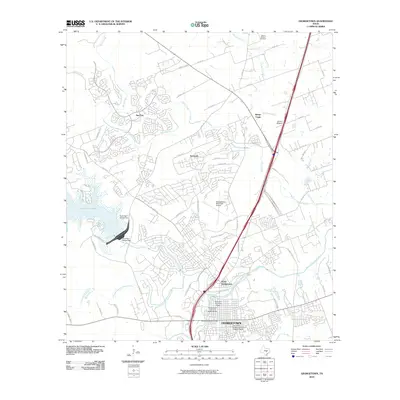
Loading map...1982 Map of Georgetown
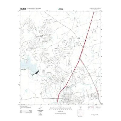
USGS Topo · Published 1986About this map
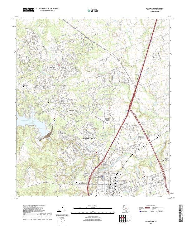
The San Gabriel River serves as the focal point for this Central Texas landscape, where the confluence of the North Fork and South Fork meets the developing urban footprint of Georgetown. The map illustrates a transitional period for the area, featuring the newly established Lake Georgetown and the North San Gabriel Dam, which altered the hydrology of the western hills. To the east, the historic core of the city is anchored by the Southwestern University campus and the landmark Courthouse.
Find a feature on this map
44 named features on this map. Tap any name to fly to it.
Don’t see what you’re looking for? This feature index may not catch every label — zoom into the map to look around manually.
Map Details
Date Portrayed1982
Date Published1986
PublisherU.S. Geological Survey
Map TypeTopographic
Scale1:24,000
Physical Dimensions23.2 x 27.1 inches
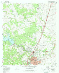
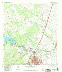
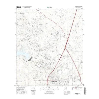
Editions of this 1982 Georgetown Map
3 editions found
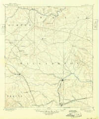
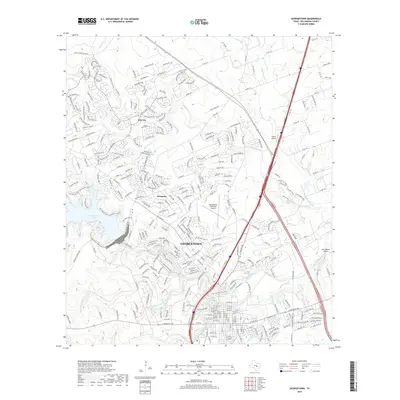
Historical Maps of Georgetown Through Time
7 maps found
Featured Locations
Source Details
SourceU.S. Geological Survey
CopyrightPublic Domain