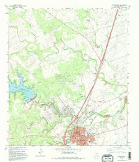
1982 Map of Georgetown
USGS Topo · Published 1995About this map
Southwestern University anchors the heart of the community in this early 1980s look at Georgetown. The landscape is defined by the convergence of the North San Gabriel River and the South Fork San Gabriel River, a junction that historically dictated the town's orientation. West of the city center, the North San Gabriel Dam holds back Lake Georgetown, a significant modification of the river system. Researchers will find numerous burial sites concentrated around the urban core, including the IOOF Cem, Guadalupe City Cem, and Citizens Memorial Cem. The map also captures the local industrial and transport infrastructure, from the Georgetown Railroad Co tracks to the Municipal Airport and several Gravel Pits north of town. Rural life is evidenced by family-named landmarks like Strickland Grove and Smalley Branch to the north.
Find a feature on this map
44 named features on this map. Tap any name to fly to it.
Don’t see what you’re looking for? This feature index may not catch every label — zoom into the map to look around manually.
Map Details
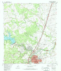
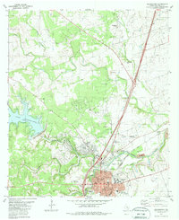
Editions of this 1982 Georgetown Map
3 editions found
Other maps of this area

1893 · Georgetown
USGS Topo · 1:125,000

1925 · Georgetown 4-b
USGS Topo · 1:48,000

1925 · Georgetown 4-d
USGS Topo · 1:48,000

1928 · Round Rock
USGS Topo · 1:62,500

1949 · Round Rock
USGS Topo · 1:62,500

1951 · Round Rock
USGS Topo · 1:62,500

1954 · Austin
USGS Topo · 1:250,000
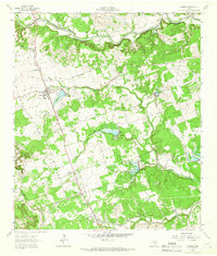
1962 · Leander
USGS Topo · 1:24,000
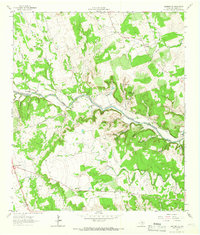
1962 · Leander NE
USGS Topo · 1:24,000
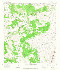
1964 · Cobbs Cavern
USGS Topo · 1:24,000