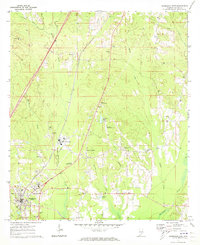
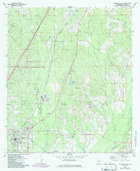
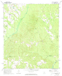
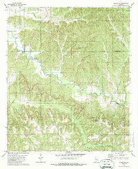
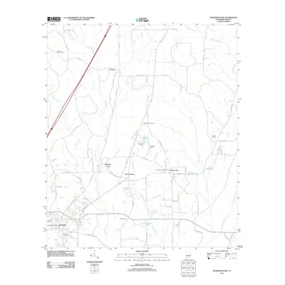
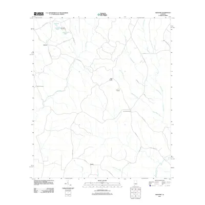
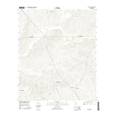
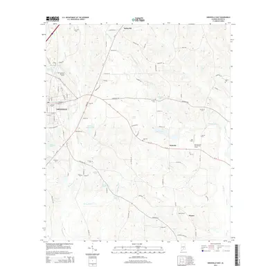
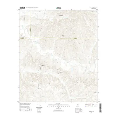
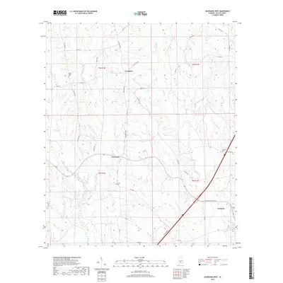
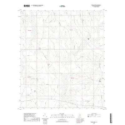
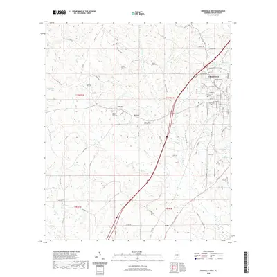
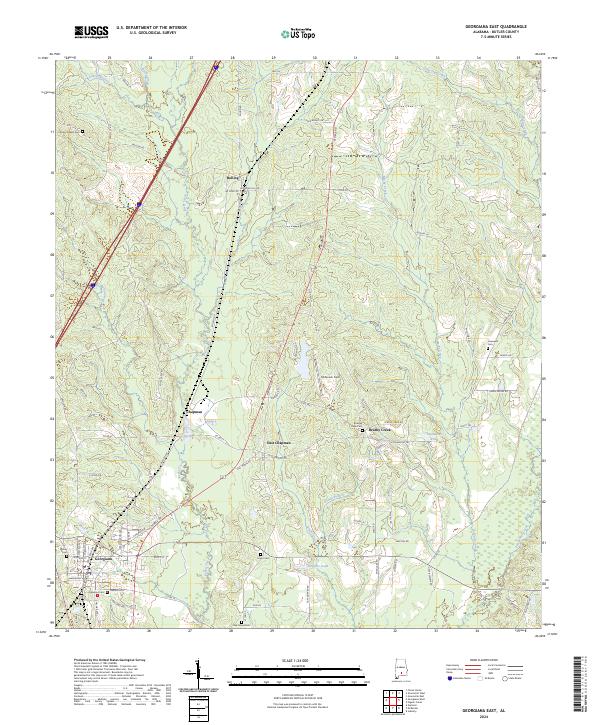
1971 Map of Georgiana East
USGS Topo · Published 1974About this map
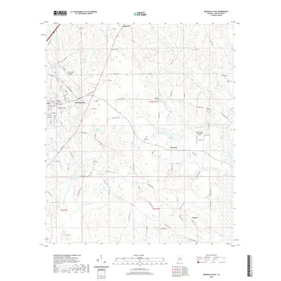
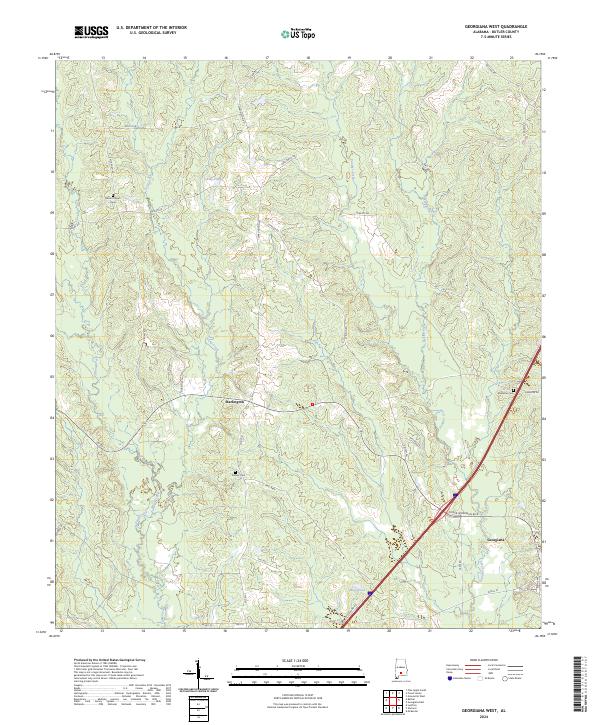
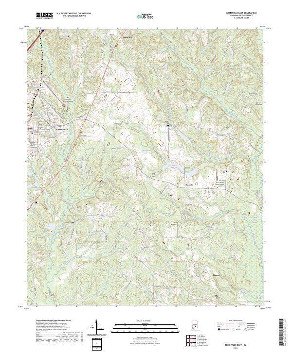
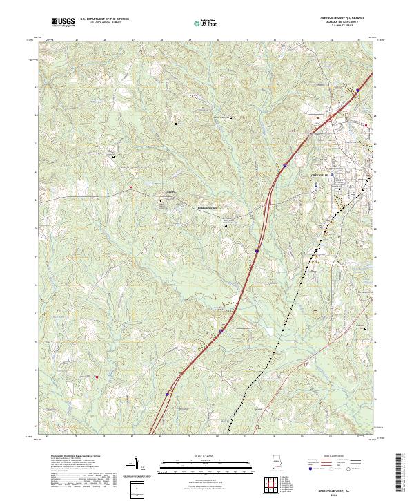
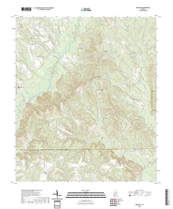
The Louisville and Nashville railroad serves as the primary industrial spine for this portion of Butler County, anchoring the timber-dependent communities of Georgiana, Chapman, and Bolling. This early 1970s survey captures a landscape defined by its connection to the lumber industry and regional transportation, evidenced by the presence of the Chapman Lookout Tower and the Mc Gowin Landing Strip. Settlement patterns here follow the rail line and the gentle drainage basins of Rocky Creek and Brushy Creek, with several small community centers identified by their local landmarks. Genealogists and local historians can trace family roots through several rural congregations and burial grounds, including Kenzie Chapel Cem, Oak Grove Ch, and Mt Pleasant Ch. Education and civic life are marked by the R L Austin High Sch and specialized public spaces like the Locomotive Roadside Park.
Find a feature on this map
35 named features on this map. Tap any name to fly to it.
Don’t see what you’re looking for? This feature index may not catch every label — zoom into the map to look around manually.
Map Details
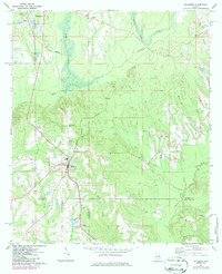
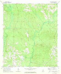
Editions of this 1971 Georgiana East Map
3 editions found
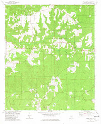
Historical Maps of Georgiana Through Time
61 maps found
1971 Fort Dale
Butler County, AL
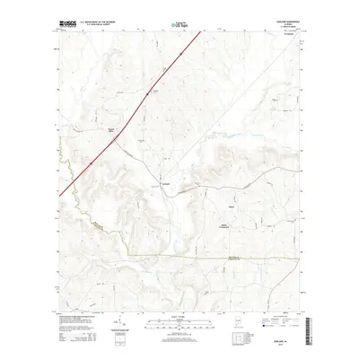
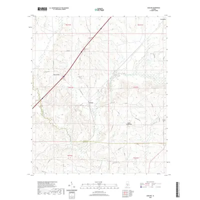
1971 Garland
Butler County, AL
1971 Georgiana East
Butler County, AL
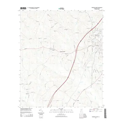
1971 Georgiana West
Butler County, AL
1971 Greenville East
Butler County, AL
1971 Greenville West
Butler County, AL
1971 Industry
Butler County, AL
1971 Mc Kenzie
Butler County, AL
1971 Pigeon Creek
Butler County, AL
1981 Forest Home
Butler County, AL
1981 Ridgeville
Butler County, AL
2011 Forest Home
Butler County, AL
2011 Fort Dale
Butler County, AL
2011 Garland
Butler County, AL
2011 Georgiana East
Butler County, AL
2011 Georgiana West
Butler County, AL
2011 Greenville East
Butler County, AL
2011 Greenville West
Butler County, AL
2011 Industry
Butler County, AL
2011 Pigeon Creek
Butler County, AL
2011 Ridgeville
Butler County, AL
2014 Forest Home
Butler County, AL
2014 Fort Dale
Butler County, AL
2014 Garland
Butler County, AL
2014 Georgiana East
Butler County, AL
2014 Georgiana West
Butler County, AL
2014 Greenville East
Butler County, AL
2014 Greenville West
Butler County, AL
2014 Industry
Butler County, AL
2014 Pigeon Creek
Butler County, AL
2014 Ridgeville
Butler County, AL
2018 Forest Home
Butler County, AL
2018 Fort Dale
Butler County, AL

2018 Garland
Butler County, AL
2018 Georgiana East
Butler County, AL
2018 Georgiana West
Butler County, AL
2018 Greenville East
Butler County, AL
2018 Greenville West
Butler County, AL
2018 Industry
Butler County, AL
2018 Pigeon Creek
Butler County, AL
2018 Ridgeville
Butler County, AL
2020 Forest Home
Butler County, AL
2020 Fort Dale
Butler County, AL
2020 Garland
Butler County, AL
2020 Georgiana East
Butler County, AL
2020 Georgiana West
Butler County, AL
2020 Greenville East
Butler County, AL
2020 Greenville West
Butler County, AL
2020 Industry
Butler County, AL
2020 Pigeon Creek
Butler County, AL
2020 Ridgeville
Butler County, AL
2024 Forest Home
Butler County, AL
2024 Fort Dale
Butler County, AL
2024 Garland
Butler County, AL
2024 Georgiana East
Butler County, AL
2024 Georgiana West
Butler County, AL
2024 Greenville East
Butler County, AL
2024 Greenville West
Butler County, AL
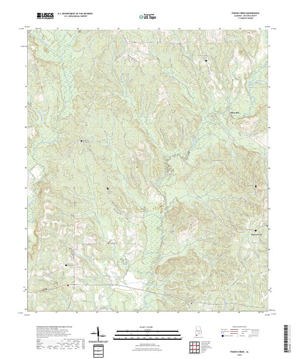
2024 Industry
Butler County, AL
2024 Pigeon Creek
Butler County, AL
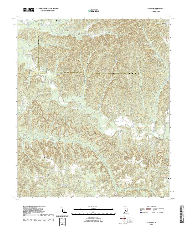
2024 Ridgeville
Butler County, AL