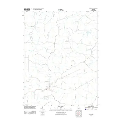
2012 Map of Gerald
USGS Topo · Published 2012About this map
Gerald serves as the primary hub in this Franklin County landscape, where the street grid transitions into a network of rural roads that follow the winding paths of local waterways. The area is defined by its numerous small drainage systems, including Boeuf Creek and the Middle Fork of the Bourbeuse River, which create a rolling topography marked by landmarks like Bald Hill. Small outlying settlements such as Beemont and Port Hudson reflect the historic distribution of communities before modern development centralized around the main thoroughfares.
Find a feature on this map
53 named features on this map. Tap any name to fly to it.
Don’t see what you’re looking for? This feature index may not catch every label — zoom into the map to look around manually.
Map Details
Editions of this 2012 Gerald Map
This is the sole edition of this map. No revisions or reprints were ever made.
Other maps of this area

1890 · Hermann
USGS Topo · 1:125,000

1903 · Sullivan
USGS Topo · 1:125,000

1935 · Gerald
USGS Topo · 1:48,000

1936 · Hermann
USGS Topo · 1:48,000

1941 · Gerald
USGS Topo · 1:62,500

1942 · Hermann
USGS Topo · 1:62,500

1944 · Gerald
USGS Topo · 1:62,500

1945 · Hermann
USGS Topo · 1:62,500

1946 · Union
USGS Topo · 1:62,500

1948 · Union
USGS Topo · 1:62,500