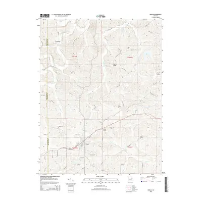
2015 Map of Gerald
USGS Topo · Published 2015About this map
Gerald serves as the primary hub of this rural Franklin County landscape, situated at the intersection of Old Highway 50 and local routes like Vossbrink Rd. The surrounding terrain is defined by a dense network of watercourses, including the winding Boeuf Creek and its many tributaries such as Cedar Fork and Middle Fork. Smaller crossroads and named locations like Beemont, Jaegers Shop, and Port Hudson provide a look at the dispersed settlement patterns common to the Missouri Ozark foothills. Genealogists will find significant value in the scattered burial grounds that dot the countryside, such as Saint Paul Cemetery, Bates Cemetery, and Gregory Cemetery, which are often located near long-established family farmsteads and rural routes like Beemont School Rd. The northern portion of the map is dominated by the prominent Bald Hill and the recreational waters of Harry Panhorst Lake, illustrating the varied land use between agriculture and timbered hillsides.
Find a feature on this map
78 named features on this map. Tap any name to fly to it.
Don’t see what you’re looking for? This feature index may not catch every label — zoom into the map to look around manually.
Map Details
Editions of this 2015 Gerald Map
This is the sole edition of this map. No revisions or reprints were ever made.
Other maps of this area
1890 · Hermann
USGS Topo · 1:125,000
1903 · Sullivan
USGS Topo · 1:125,000
1935 · Gerald
USGS Topo · 1:48,000
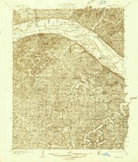
1936 · Hermann
USGS Topo · 1:48,000
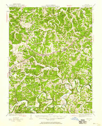
1941 · Gerald
USGS Topo · 1:62,500
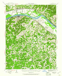
1942 · Hermann
USGS Topo · 1:62,500
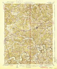
1944 · Gerald
USGS Topo · 1:62,500
1945 · Hermann
USGS Topo · 1:62,500
1946 · Union
USGS Topo · 1:62,500
1948 · Union
USGS Topo · 1:62,500