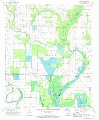
1969 Map of Geridge
USGS Topo · Published 1971About this map
Bayou Meto meanders through this agricultural landscape on the border of Lonoke and Prairie Counties, defining a region where water management and rice farming have shaped the land. Large water storage systems like Reservoir 198 and Reservoir 194 are prominent alongside specialized Fish Ponds, illustrating the area's intensive aquaculture and irrigation practices. Small settlements like Geridge and Brummitt serve as local hubs, anchored by essential community landmarks such as Geridge Cem and the nearby Landing Strip.
Find a feature on this map
32 named features on this map. Tap any name to fly to it.
Don’t see what you’re looking for? This feature index may not catch every label — zoom into the map to look around manually.
Map Details
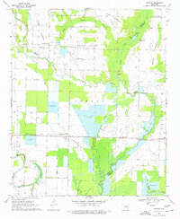
Editions of this 1969 Geridge Map
2 editions found
Other maps of this area

1935 · Altheimer
USGS Topo · 1:62,500

1937 · Stuttgart
USGS Topo · 1:62,500

1937 · England
USGS Topo · 1:48,000

1939 · Stuttgart
USGS Topo · 1:62,500

1941 · Goldman
USGS Topo · 1:62,500

1943 · England
USGS Topo · 1:62,500

1948 · Helena
USGS Topo · 1:250,000

1950 · Helena
USGS Topo · 1:250,000

1955 · Helena
USGS Topo · 1:250,000

1959 · Helena
USGS Topo · 1:250,000