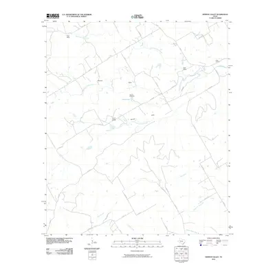
2010 Map of German Valley
USGS Topo · Published 2010About this map
German and Stanford anchor this rural landscape in Coryell County, where the drainage systems of the Brazos and Leon river basins begin to diverge. The terrain is defined by the branching arms of Neils Creek, including the North Fork, Middle Fork, and South Fork, which carve through the prominent Valley and Goar Valley regions. Significant for local family historians, the German Valley Cemetery and Boggy Cemetery remain as markers of the area's early settlement. Man-made modifications to the natural hydrology are evident at Stevens Lake, held by the Stevens Lake Dam. The southern portion of the map transitions toward the headwaters of Hog Creek and the Middle Bosque River, connected by a network of county roads like Co RD 312 and Co RD 218 that follow the natural contours of the various creek branches.
Find a feature on this map
42 named features on this map. Tap any name to fly to it.
Don’t see what you’re looking for? This feature index may not catch every label — zoom into the map to look around manually.
Map Details
Editions of this 2010 German Valley Map
This is the sole edition of this map. No revisions or reprints were ever made.
Other maps of this area

1888 · Meridian
USGS Topo · 1:125,000

1894 · Meridian
USGS Topo · 1:125,000

1954 · Waco
USGS Topo · 1:250,000

1955 · Waco
USGS Topo · 1:250,000
1955 · Turnersville
USGS Topo · 1:24,000
1955 · Ater
USGS Topo · 1:24,000
1956 · Hurst Spring
USGS Topo · 1:24,000
1956 · Jonesboro
USGS Topo · 1:24,000

1956 · Cranfills Gap
USGS Topo · 1:24,000
1956 · German Valley
USGS Topo · 1:24,000