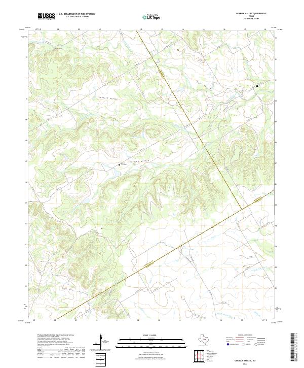
2022 Map of German Valley
USGS Topo · Published 2022About this map
German Valley and the surrounding ranchlands of central Texas are defined by an intricate network of waterways draining the Edwards Plateau. The landscape is carved by the three branches of Neils Creek—including the N Fork Neils Cr and S Fork Neils Cr—as well as the upper reaches of the Middle Bosque River. These drainages create a series of distinct lowland areas such as Stanford Valley and Goar Valley, which have historically served as the primary sites for settlement and agriculture in this corner of Hamilton County.
Find a feature on this map
51 named features on this map. Tap any name to fly to it.
Don’t see what you’re looking for? This feature index may not catch every label — zoom into the map to look around manually.
Map Details
Editions of this 2022 German Valley Map
This is the sole edition of this map. No revisions or reprints were ever made.
Other maps of this area

1888 · Meridian
USGS Topo · 1:125,000

1894 · Meridian
USGS Topo · 1:125,000

1954 · Waco
USGS Topo · 1:250,000

1955 · Waco
USGS Topo · 1:250,000
1955 · Turnersville
USGS Topo · 1:24,000
1955 · Ater
USGS Topo · 1:24,000
1956 · Hurst Spring
USGS Topo · 1:24,000
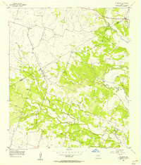
1956 · Jonesboro
USGS Topo · 1:24,000

1956 · Cranfills Gap
USGS Topo · 1:24,000
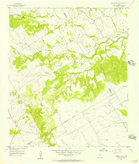
1956 · German Valley
USGS Topo · 1:24,000