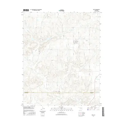
2016 Map of Gerty
USGS Topo · Published 2016About this map
Gerty sits at the intersection of local roads in this rural stretch of southeastern Oklahoma, straddling the boundary between Hughes and Coal Counties. The landscape is defined by an intricate network of waterways, including the winding Muddy Boggy Creek and its many tributaries like Panther Creek and Spring Branch. This 2016 survey highlights the agrarian and water-managed nature of the region, featuring named impoundments such as the L J Shepard Reservoir and the Mike Russell Reservoir.
Find a feature on this map
33 named features on this map. Tap any name to fly to it.
Don’t see what you’re looking for? This feature index may not catch every label — zoom into the map to look around manually.
Map Details
Editions of this 2016 Gerty Map
This is the sole edition of this map. No revisions or reprints were ever made.
Other maps of this area
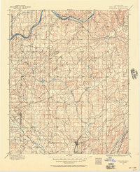
1896 · Coalgate
USGS Topo · 1:125,000
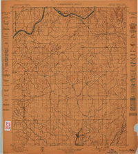
1899 · Coalgate
USGS Topo · 1:125,000
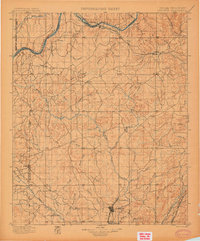
1900 · Coalgate
USGS Topo · 1:125,000
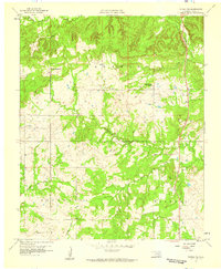
1957 · Tupelo NE
USGS Topo · 1:24,000
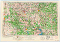
1957 · Ardmore
USGS Topo · 1:250,000
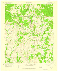
1958 · Lula
USGS Topo · 1:24,000
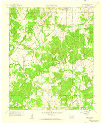
1958 · Steedman
USGS Topo · 1:24,000
1963 · Ardmore
USGS Topo · 1:250,000
1967 · Calvin East
USGS Topo · 1:24,000
1967 · Non
USGS Topo · 1:24,000