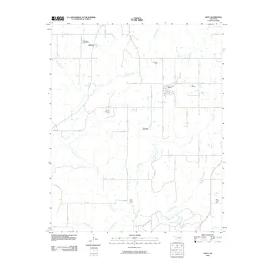
2022 Map of Gerty
USGS Topo · Published 2022About this map
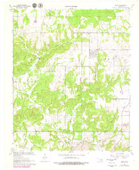
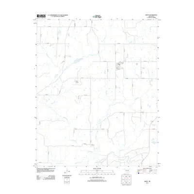
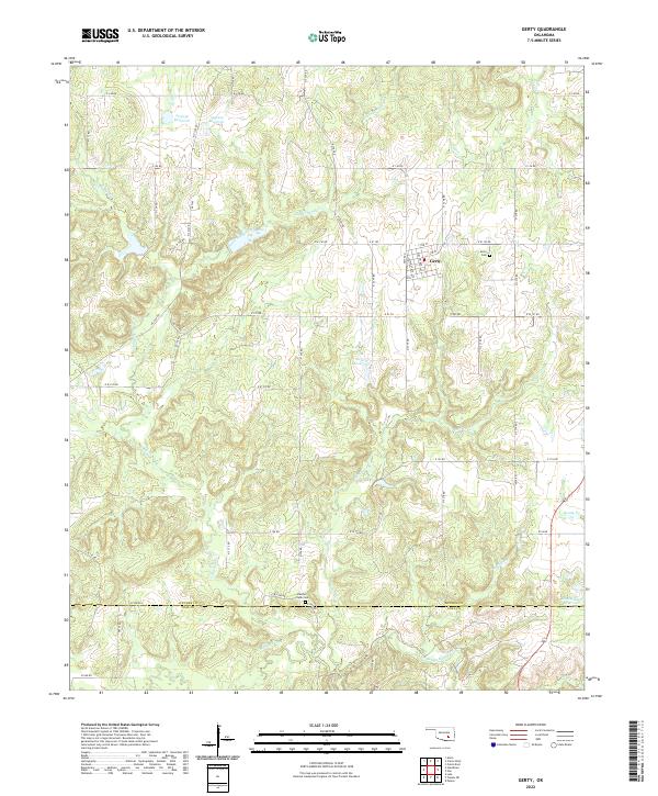
The town of Gerty sits at the center of this landscape in southern Oklahoma, where a grid of local roads like Walnut Ave and Willow Ave meets the rural section lines of the surrounding countryside. This contemporary survey shows a transition from the structured street plan of the village to the meandering drainages of the Muddy Boggy Cr and Panther Cr systems. For those tracing family histories in the area, the map precisely locates the Gerty Cem just east of town and the Panther Creek Cem near the southern border.
Find a feature on this map
45 named features on this map. Tap any name to fly to it.
Don’t see what you’re looking for? This feature index may not catch every label — zoom into the map to look around manually.
Map Details
Editions of this 2022 Gerty Map
This is the sole edition of this map. No revisions or reprints were ever made.
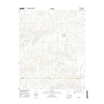
Historical Maps of Gerty Through Time
6 maps found