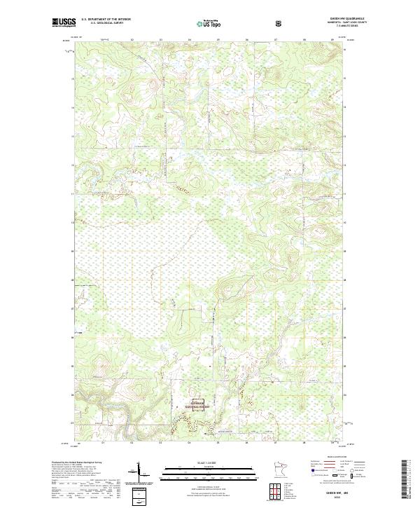
2022 Map of Gheen NW
USGS Topo · Published 2022About this map
Superior National Forest encompasses the southern reaches of this landscape, where the Little Fork River and its tributary, Little Fork River Tri, wind through the timberlands of northern St. Louis County. The topography is defined by the hydrologic network of the Willow River in the north and Beaver Cr in the south. Unlike more developed regions, the human imprint here is primarily a grid of forest and county roads. Local history and land use are reflected in the naming of rural thoroughfares such as Jackopich Rd, Schweiger Rd, and Lummi Rd. These routes, along with W Olson Rd and W Riek Rd, provide the primary access to the dense wetland and forest stands that characterize this portion of the Arrowhead Region.
Find a feature on this map
36 named features on this map. Tap any name to fly to it.
Don’t see what you’re looking for? This feature index may not catch every label — zoom into the map to look around manually.
Map Details
Editions of this 2022 Gheen NW Map
This is the sole edition of this map. No revisions or reprints were ever made.
Other maps of this area

1954 · Hibbing
USGS Topo · 1:250,000

1954 · International Falls
USGS Topo · 1:250,000

1957 · Hibbing
USGS Topo · 1:250,000

1957 · International Falls
USGS Topo · 1:250,000

1958 · International Falls
USGS Topo · 1:250,000

1958 · Hibbing
USGS Topo · 1:250,000

1964 · Hibbing
USGS Topo · 1:250,000

1964 · Linden Grove
USGS Topo · 1:24,000

1964 · Gheen NW
USGS Topo · 1:24,000

1964 · Gheen
USGS Topo · 1:24,000